


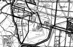
Martes, 21 Abril 2009 12:30
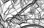
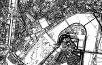
PONIENTE
eef
| DISTRIBUCION DE INVERSIONES POR CUATRIENIOS Y AGENTES | |||||||||||||||||||||
| ZONA: PONIENTE | |||||||||||||||||||||
| Sistema código | 1º CUATRIENIO (en miles de pesetas) | 2º CUATRIENIO (en miles de pesetas) | 3º CUATRIENIO (en miles de pesetas) | ||||||||||||||||||
| L | A | E | P | TOTAL | L | A | E | P | TOTAL | L | A | E | P | TOTAL | |||||||
| V PJ.1 | 18.036,23 | 0,00 | 0,00 | 162.326,03 | 180.362,25 | 18.036,23 | 0,00 | 0,00 | 162.326,03 | 180.362,25 | 0,00 | 0,00 | 0,00 | 0,00 | 0,00 | ||||||
| EL PJ.2 | 3.794,10 | 0,00 | 0,00 | 34.146,90 | 37.941,00 | 3.794,10 | 0,00 | 0,00 | 34.146,90 | 37.941,00 | 0,00 | 0,00 | 0,00 | 0,00 | 0,00 | ||||||
| 21.830,33 | 0,00 | 0,00 | 196.472,93 | 218.303,25 | 21.830,33 | 0,00 | 0,00 | 196.472,93 | 218.303,25 | 0,00 | 0,00 | 0,00 | 0,00 | 0,00 | |||||||
Última actualización 13/11/2002
Publicado en
01.- PGOU
Etiquetado como
Martes, 21 Abril 2009 12:30
PONIENTE
eef
| SUELO URBANO | ||||||||||||||||||||
| ZONA: PONIENTE | ||||||||||||||||||||
| Sistema código | Area Reparto | Uso | Superficie | Obtención | Coste (en miles de pesetas) | Agente (en miles de pesetas) | Cuatrienio | |||||||||||||
| m2s | Suelo | Edificación | Urbanización | Total | Admon. Local (actuante) | J. Andalucía | Estado | Propietarios | 1º | 2º | 3º | |||||||||
| V PJ.1 | AR.PERI.PJ | viario | 37.971 | CESION | 0,00 | 0,00 | 360.724,50 | 360.724,50 | 36.072,45 | 0,00 | 0,00 | 324.652,05 | 180.362,25 | 180.362,25 | 0,00 | |||||
| EL PJ.2 | espacios libres | 25.294 | CESION | 0,00 | 0,00 | 75.882,00 | 75.882,00 | 7.588,20 | 0,00 | 0,00 | 68.293,80 | 37.941,00 | 37.941,00 | 0,00 | ||||||
| 63.265 | 0,00 | 0,00 | 436.606,50 | 436.606,50 | 43.660,65 | 0,00 | 0,00 | 392.945,85 | 218.303,25 | 218.303,25 | 0,00 | |||||||||
Última actualización 13/11/2002
Publicado en
01.- PGOU
Etiquetado como
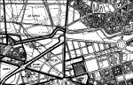
Martes, 21 Abril 2009 12:30
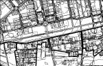
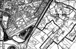
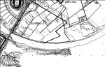
PONIENTE
| PONIENTE | |||||||||||||
| Código | Denominación | Datos de Planeamiento | Reparto de Aprovechamientos y AT | ||||||||||
| Superficie (S) | Ie bruta PERI | Techo max. (TM) | CP | Aprovechamiento Real (ApR)= | Aprovechamiento Tipo (AT)= | ASA= | Ap. Admon.= | ||||||
| en m2s | en m2t/m2s | en m2t | TM*CP | ApR/S | 0,9*(AT*S) | 0,1*(AT*S) | |||||||
| AR.PERI.PJ | PARQUE JOYERO | 505.879 | 1,00 | 505.879 | 1,00 | 505.879 | 1,00 | m2t/m2s uso y tipología según PERI | 455.291,10 | 50.587,90 | |||
| Totales | 505.879 | 505.879 | 505.879 | 455.291,10 | 50.587,90 | ||||||||
| Código | Denominación | Datos de Planeamiento | Aprovechamientos y AT | ||||||||||
| Superficie (S) | Ie bruta PERI | Techo max. (TM) | CP | Aprovechamiento Real (ApR)= | Aprovechamiento Tipo (AT)= | ASA= | |||||||
| en m2s | en m2t/m2s | en m2t | TM*CP | ApR/S | 1*(AT*S) | ||||||||
| AR.PE.P-1 | SIETE DE MAYO | 5.234 | 2,208 | 11.554 | según PE | 12.805 | 2,447 | m2t/m2s uso y tipología MC | 12.805,00 | ||||
| Totales | 5.234 | 11.554 | 12.805 | 12.805,00 | |||||||||
Última actualización 31/10/2002
Publicado en
01.- PGOU
Etiquetado como
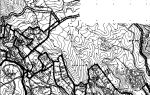
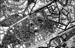
Martes, 21 Abril 2009 12:30
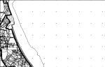
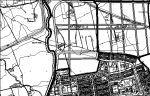
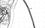
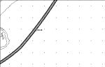
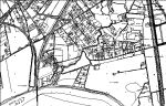
POLIGONO TORRECILLA-ESTE
ARs SUNP
| SUELO URBANIZABLE NO PROGRAMADO | |||||||||||||||||||
| AREA REPARTO SUNP: | POLIGONO TORRECILLA-ESTE | ||||||||||||||||||
| Ambitos | Datos de Planeamiento | Usos Globales | |||||||||||||||||
| Superficie (S) | Ie bruta máxima | Techo máximo (TM =Ie*S) | |||||||||||||||||
| en m2s | en m2t/m2s | en m2techo | |||||||||||||||||
| PAU (I)-4 | POLIGONO TORRECILLA-ESTE | 385.003 | 0,650 | 250.252 | INDUSTRIALES | ||||||||||||||
| TOTAL AMBITOS | 385.003 | 250.252 | |||||||||||||||||
| SGEL.SUNP-1 | PARQUE POLIGONO GUADALQUIVIR-SUR | 72.215 | ESPACIOS LIBRES | ||||||||||||||||
| SGV.SUNP-1 | CORTA DE TORRECILLA | 76.355 | VIARIO | ||||||||||||||||
| TOTAL SISTEMAS GENERALES | 148.570 | ||||||||||||||||||
| TOTALES | 533.573 | 250.252 | |||||||||||||||||
Última actualización 31/10/2002
Publicado en
01.- PGOU
Etiquetado como
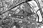
Martes, 21 Abril 2009 12:30
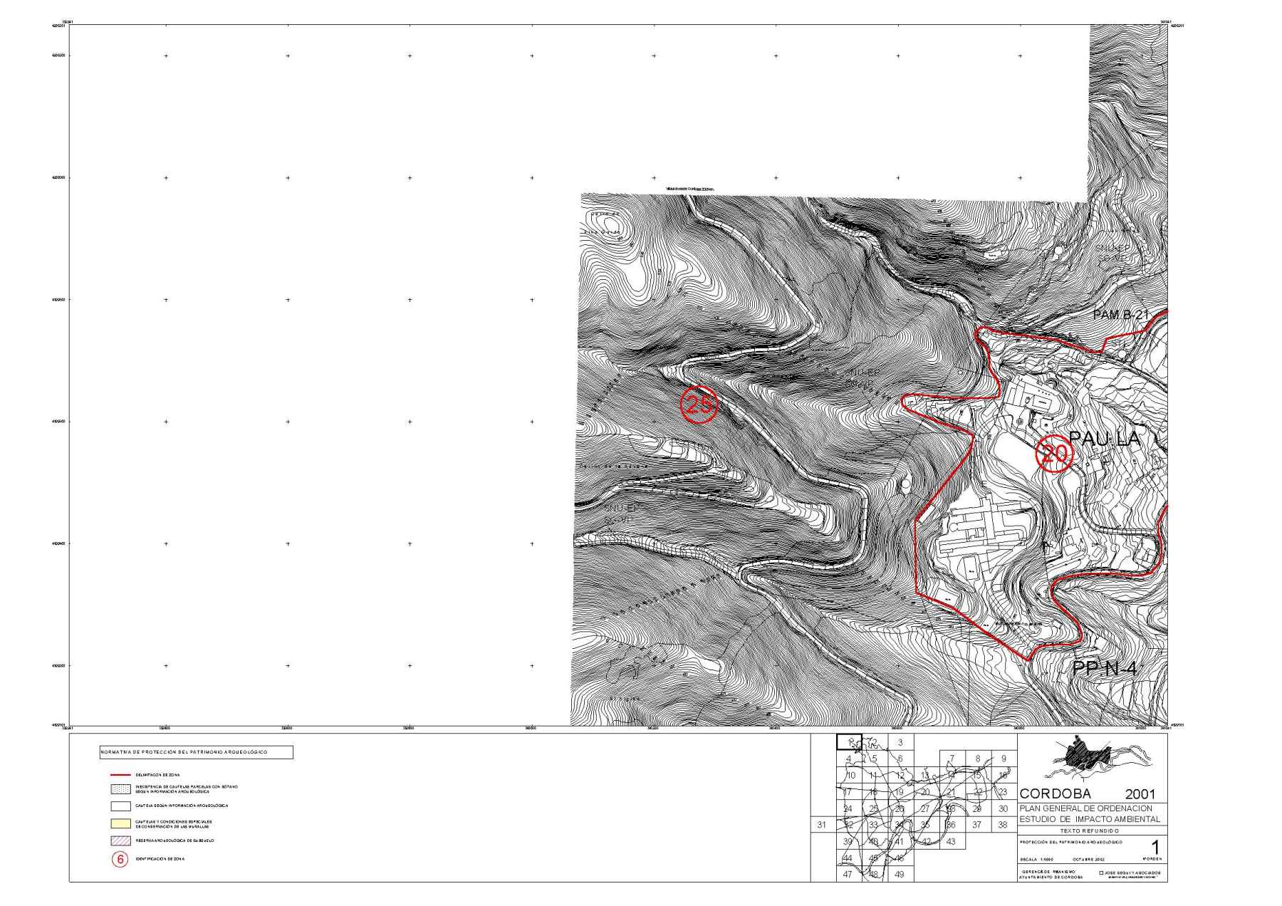
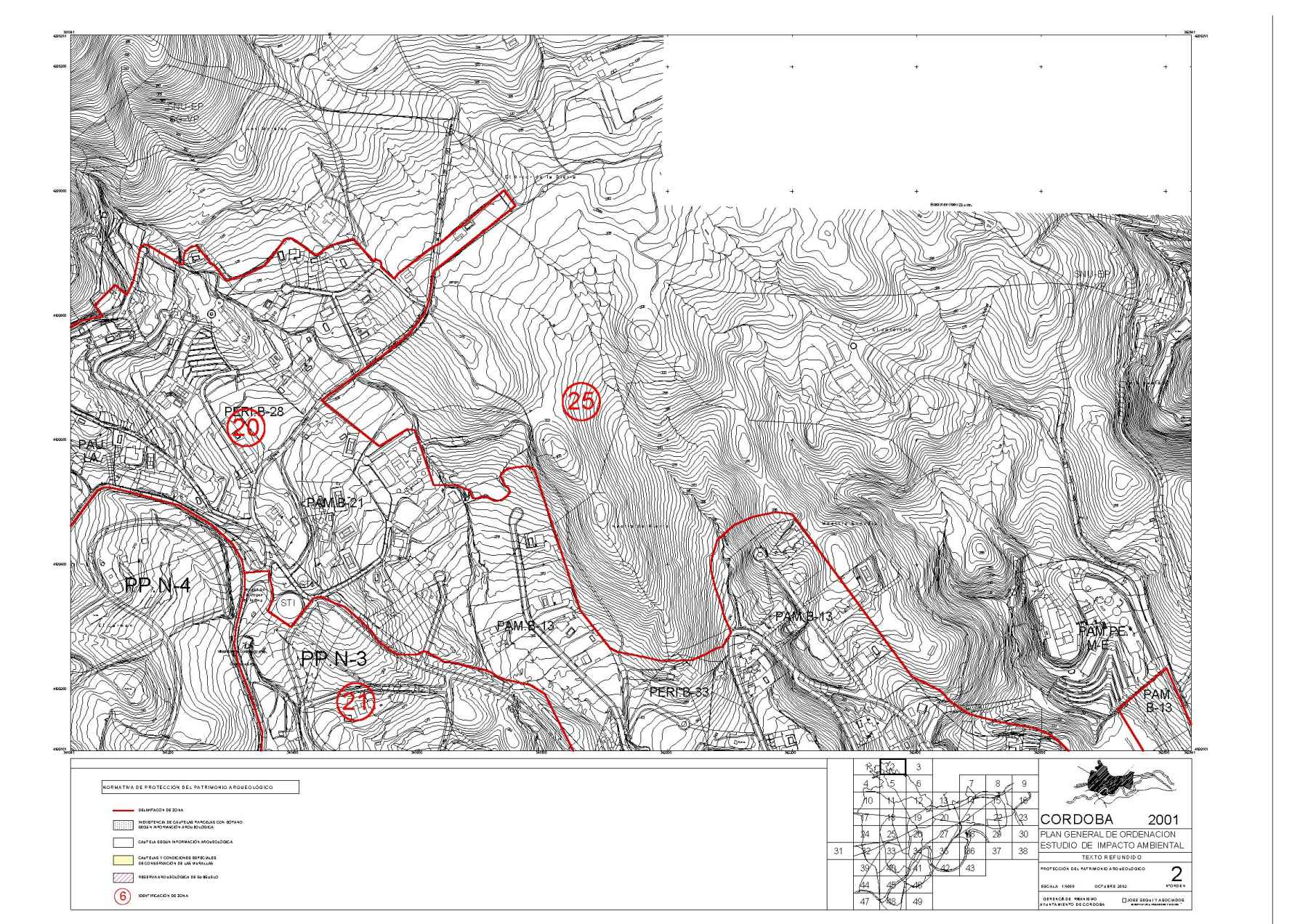
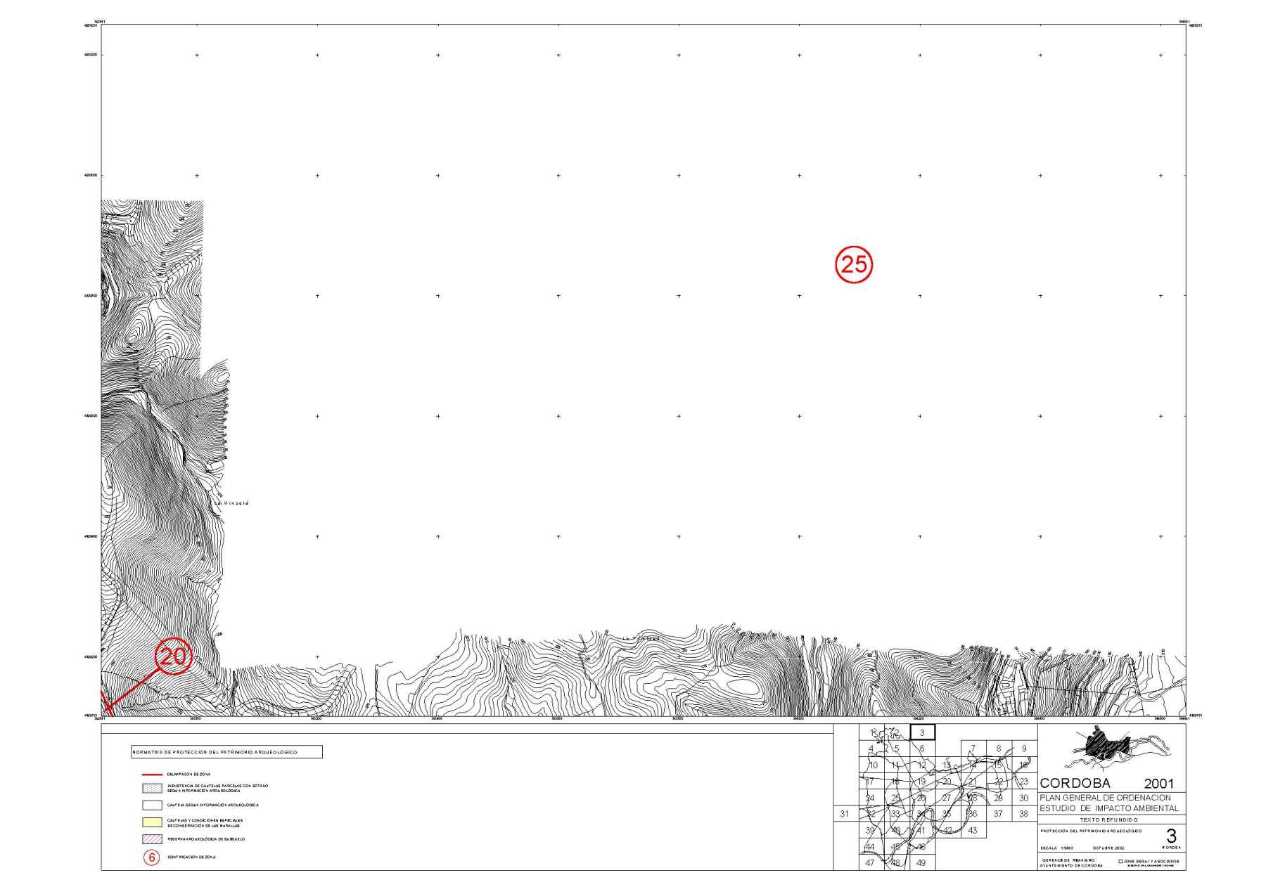
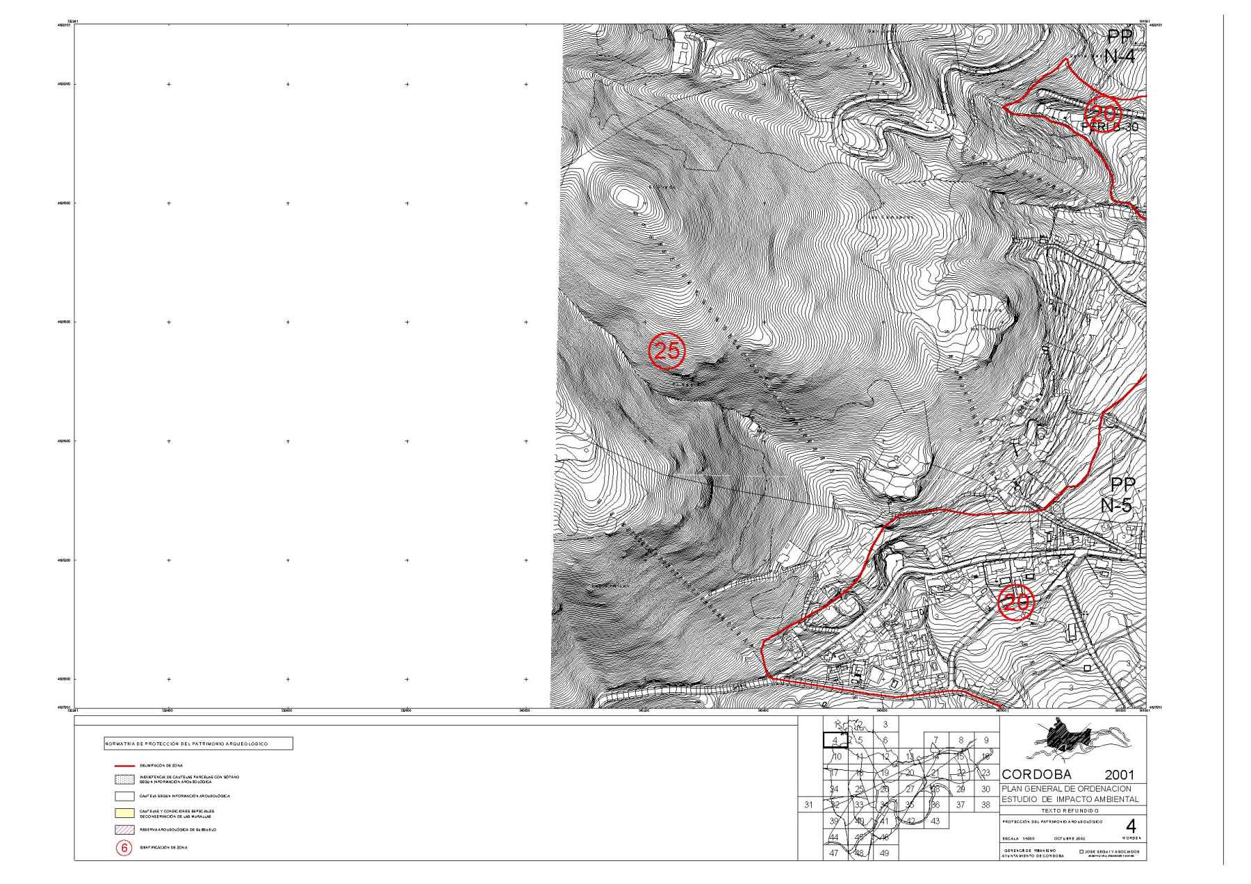
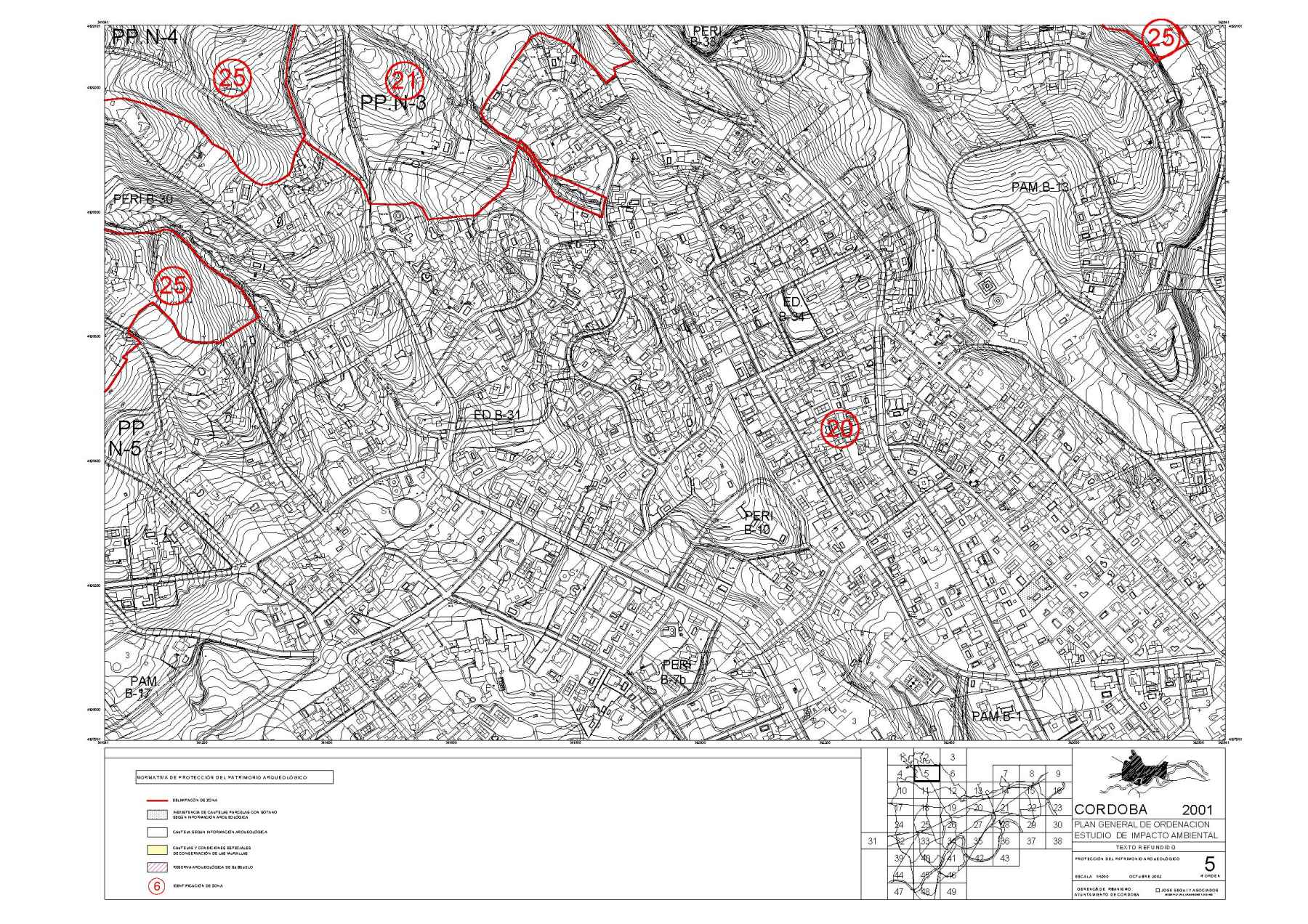
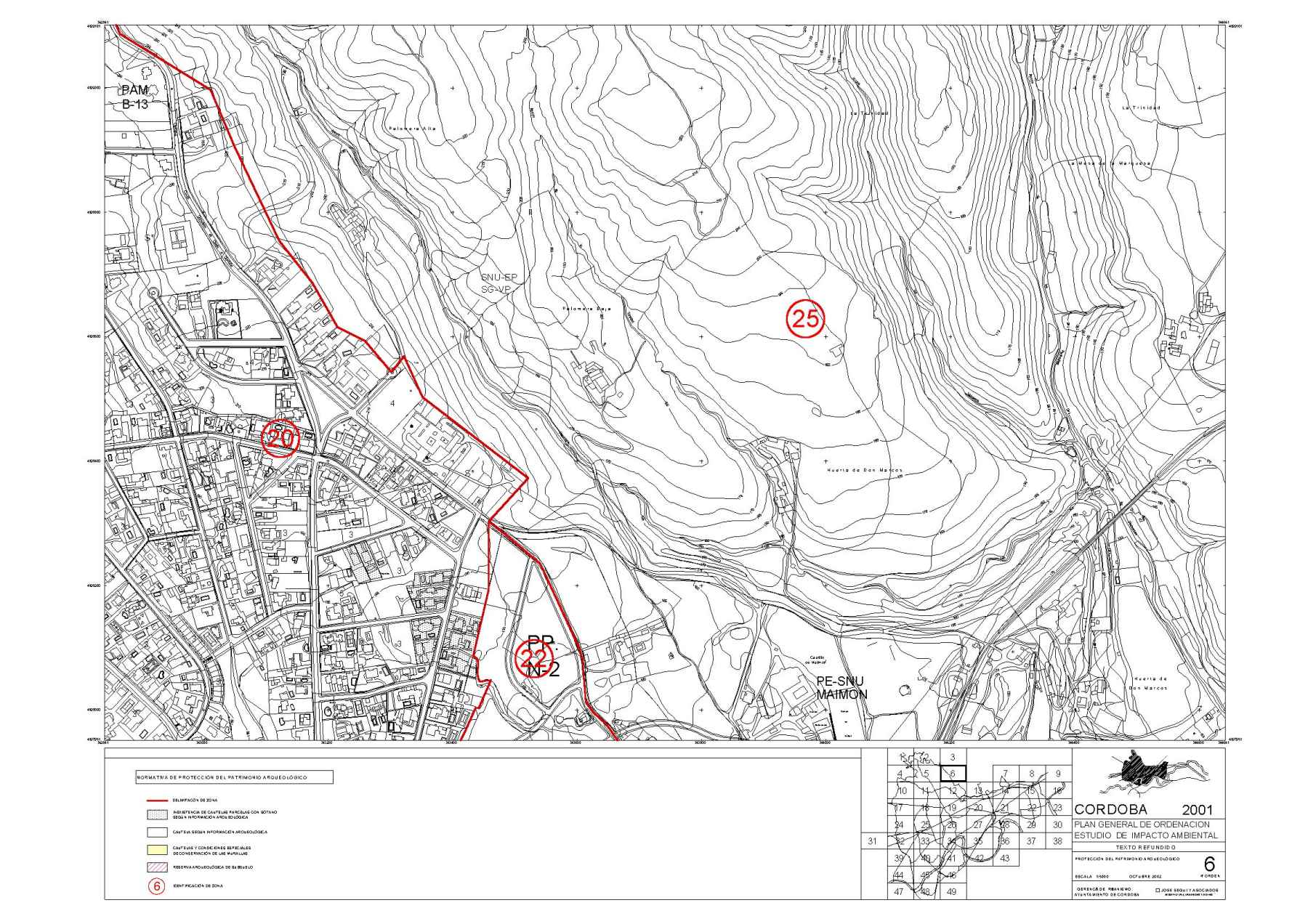
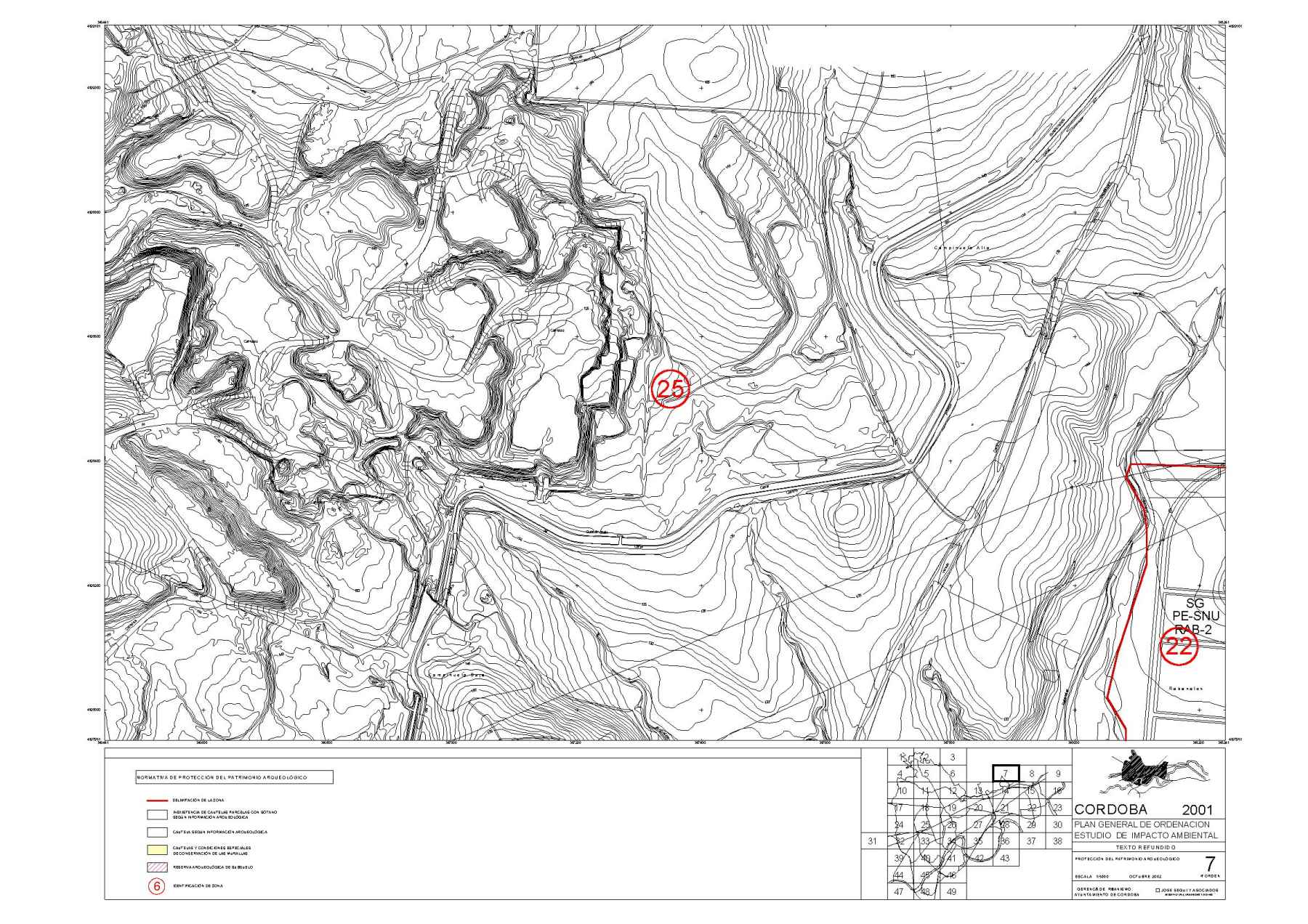
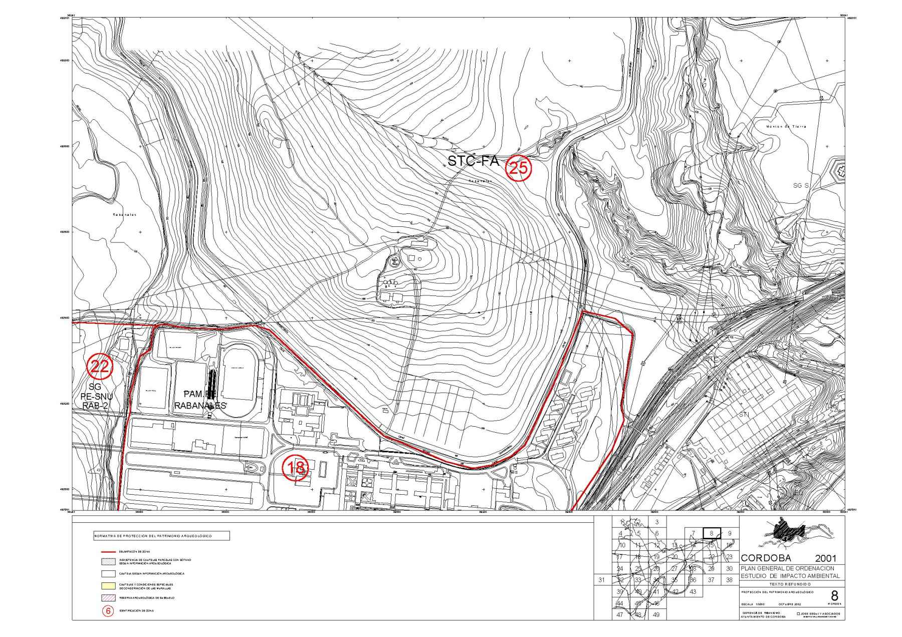
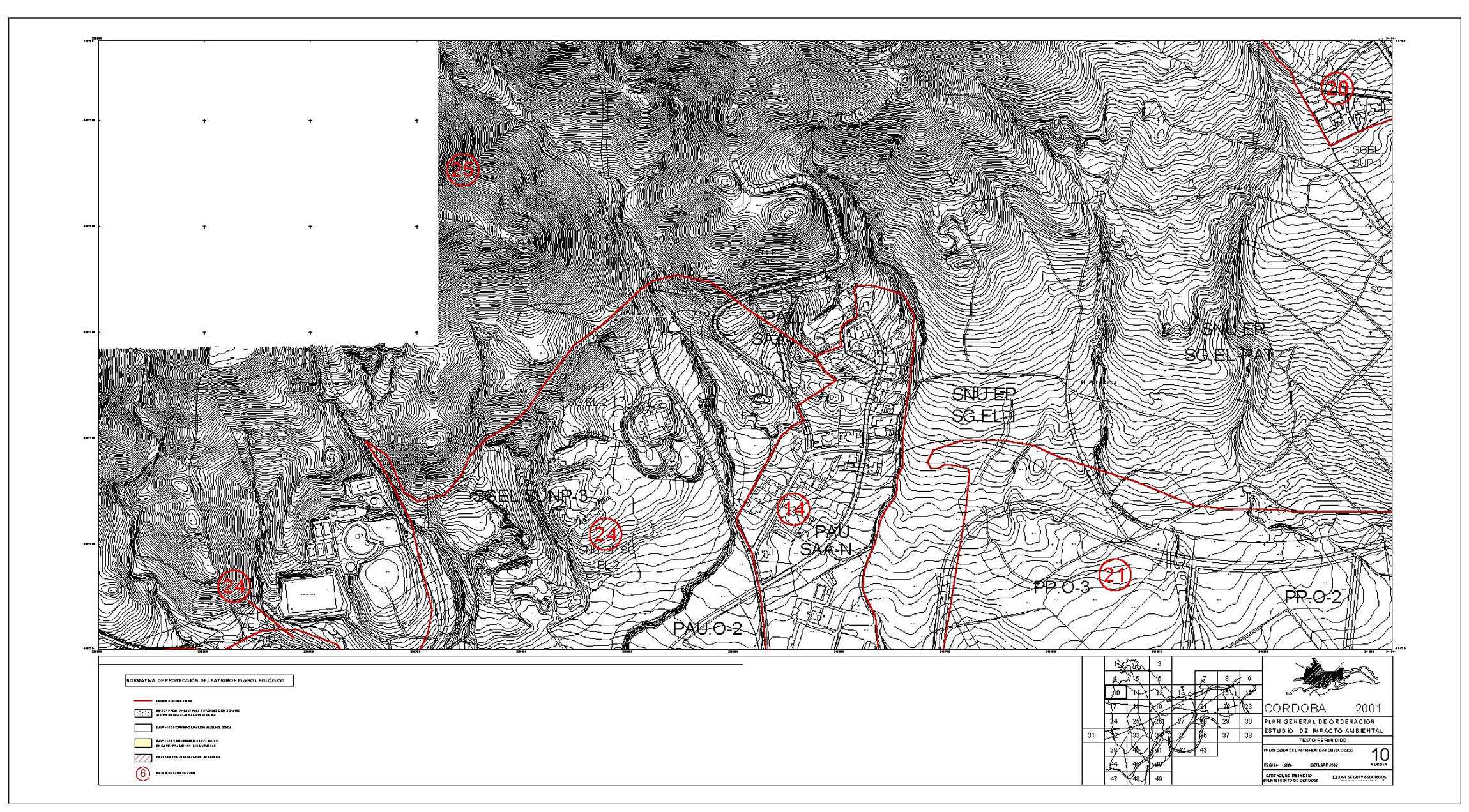
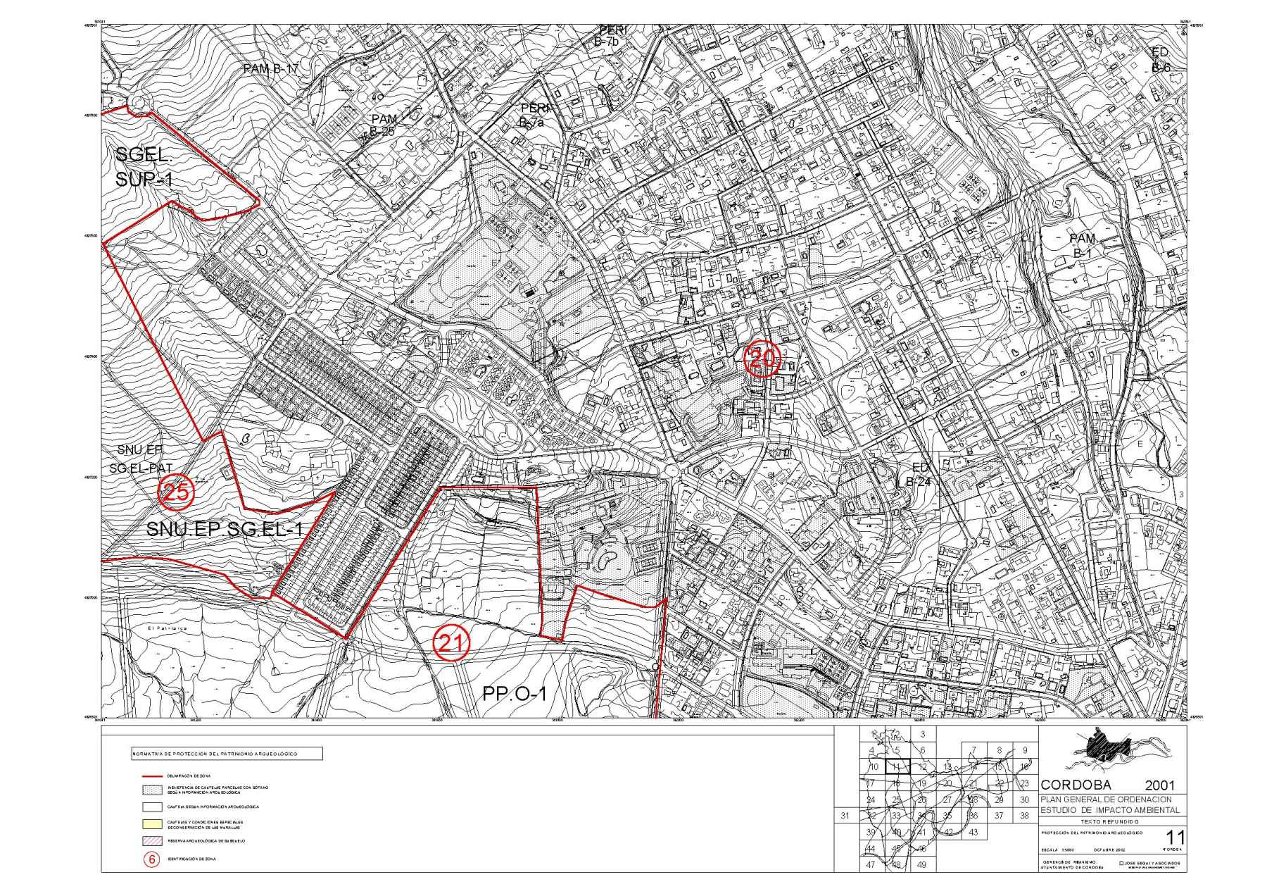
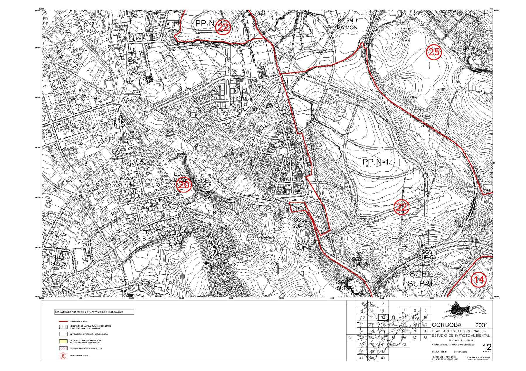
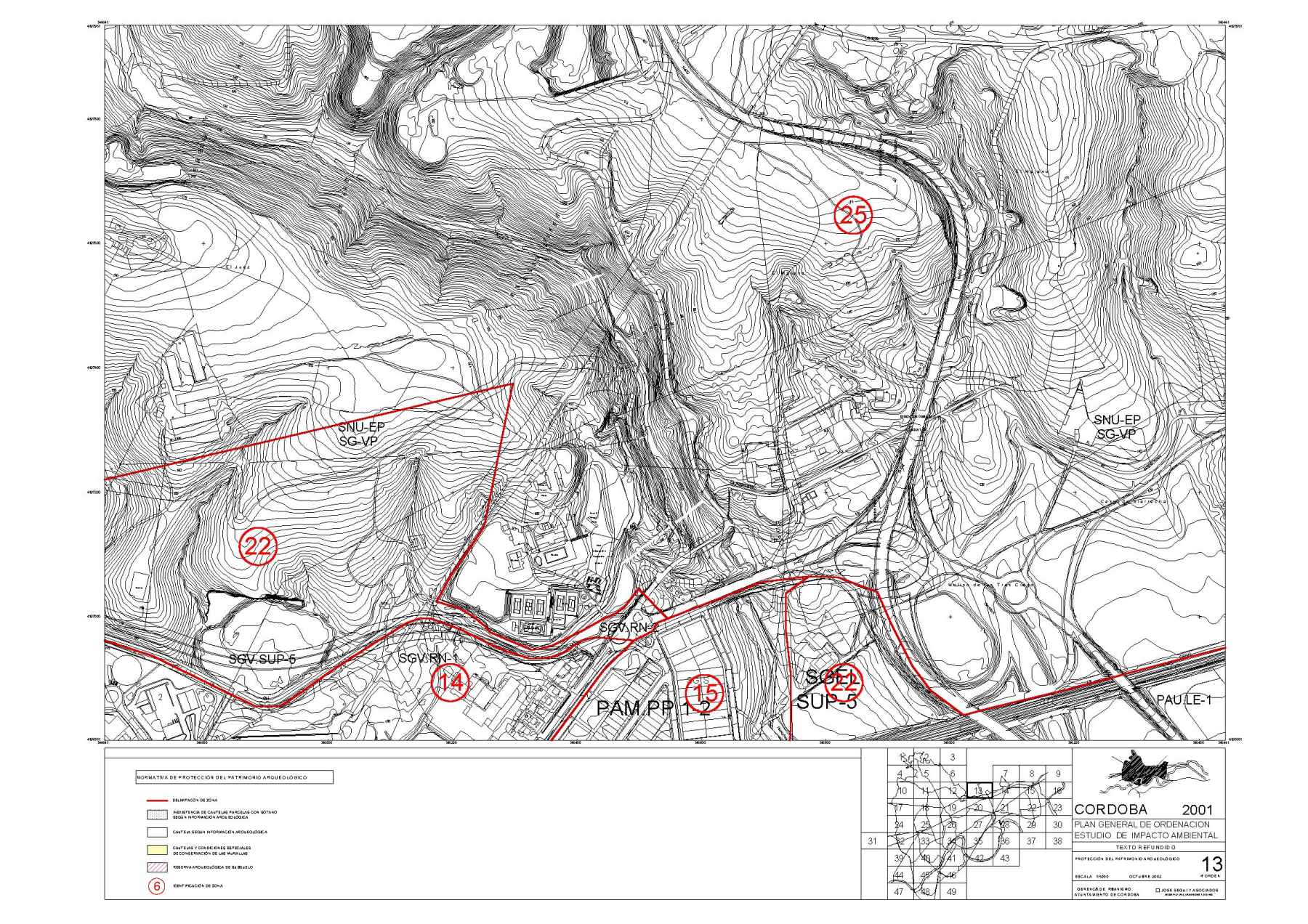
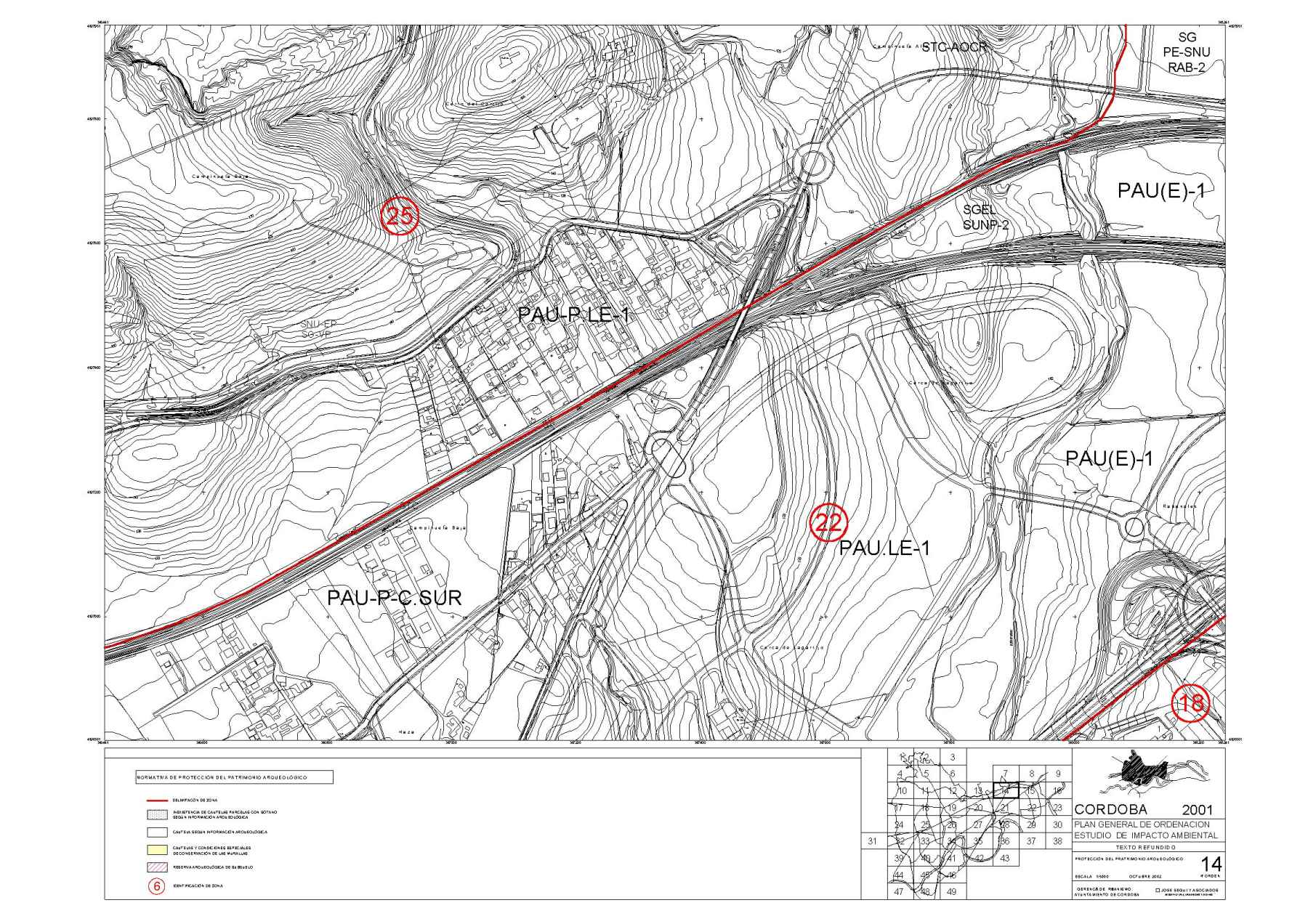
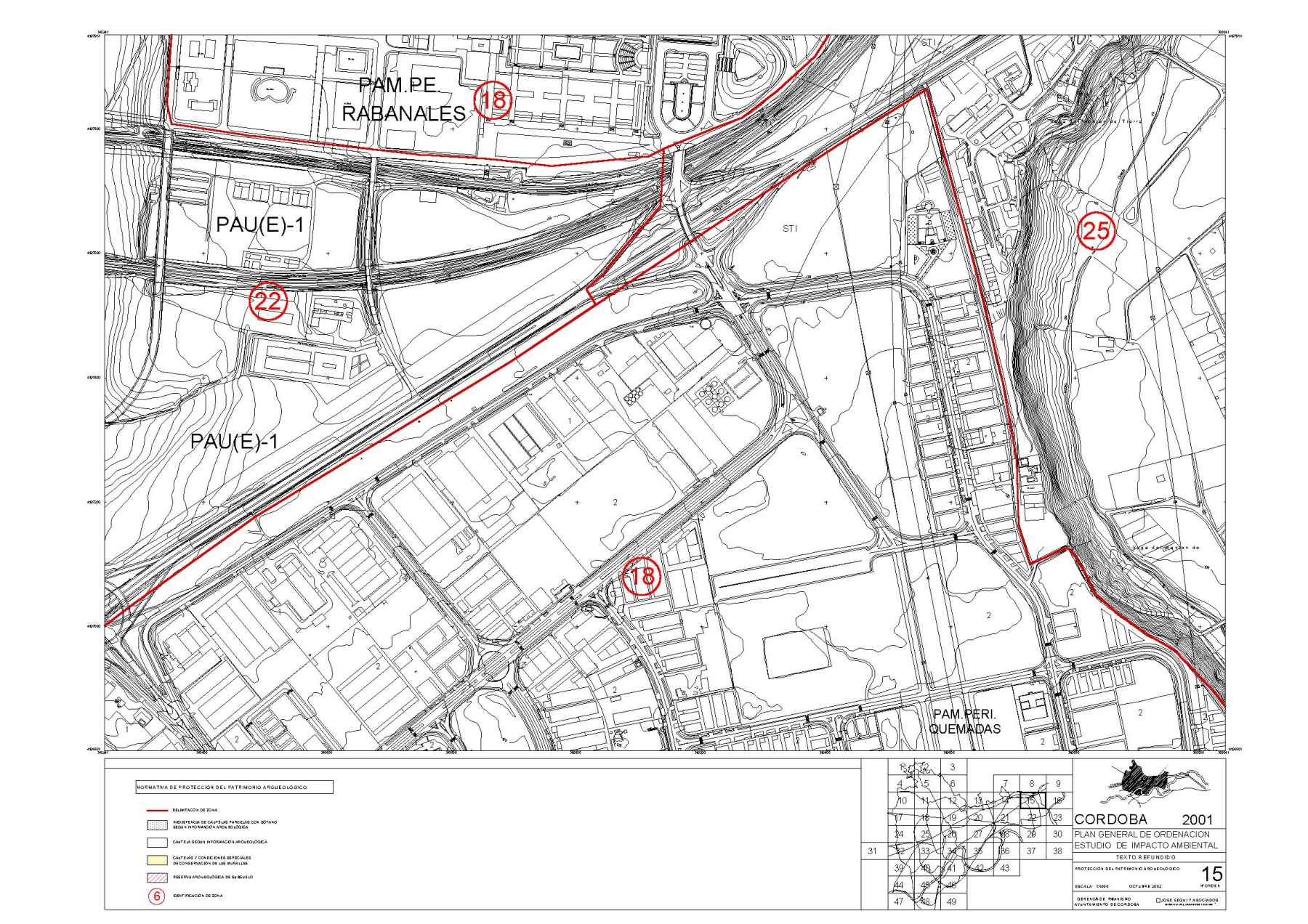
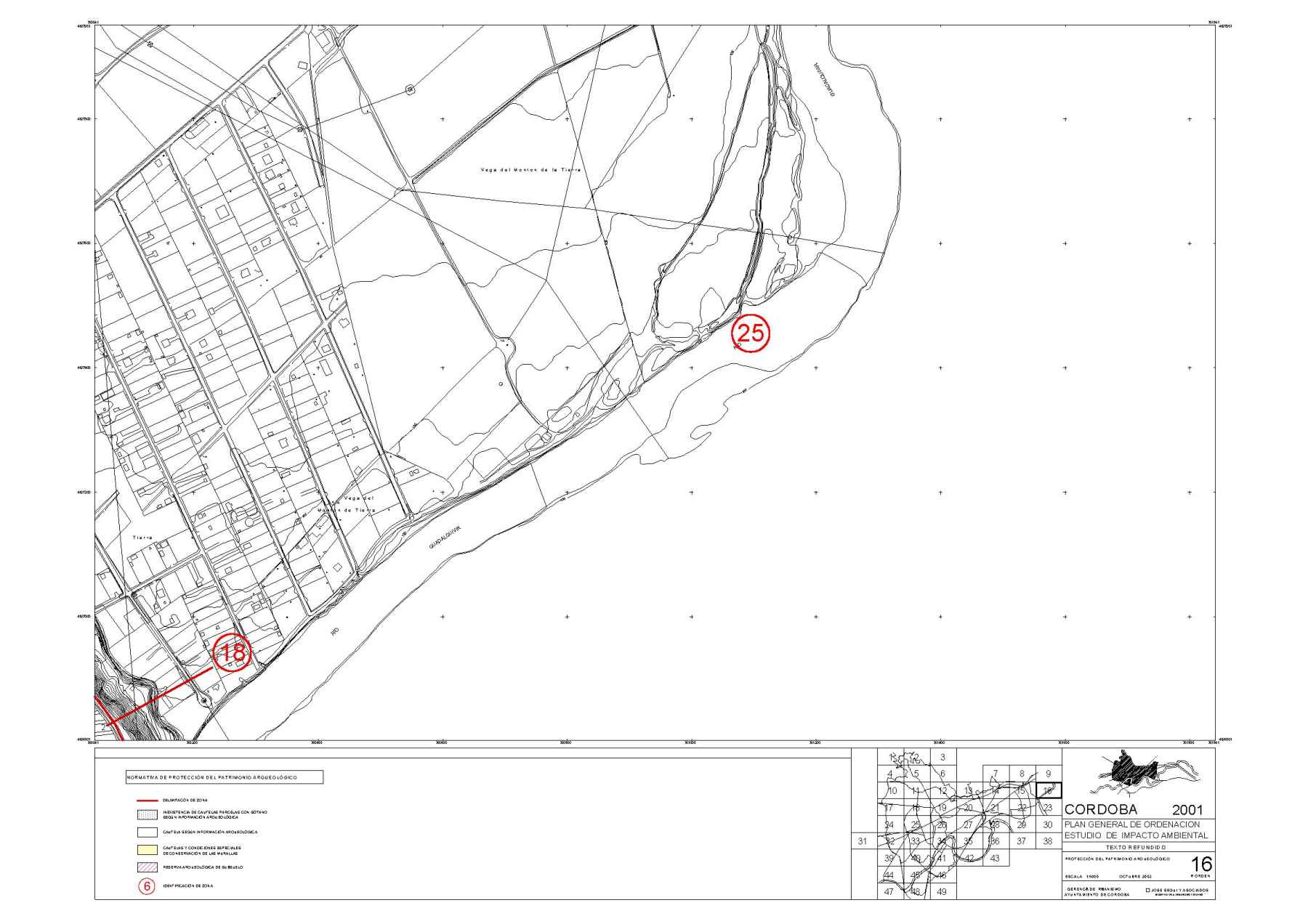
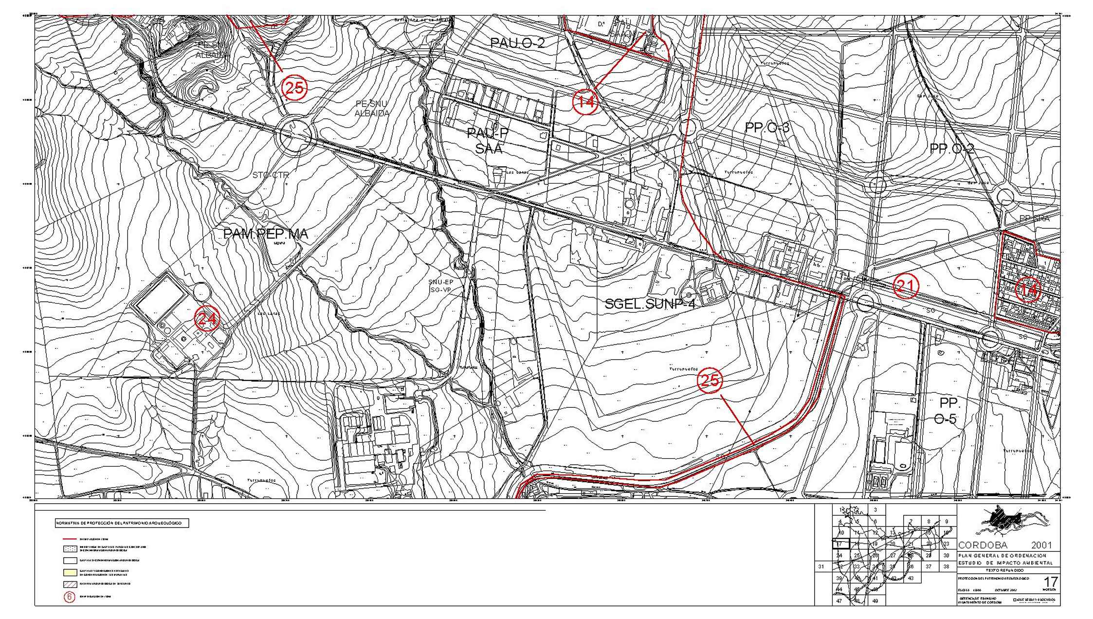
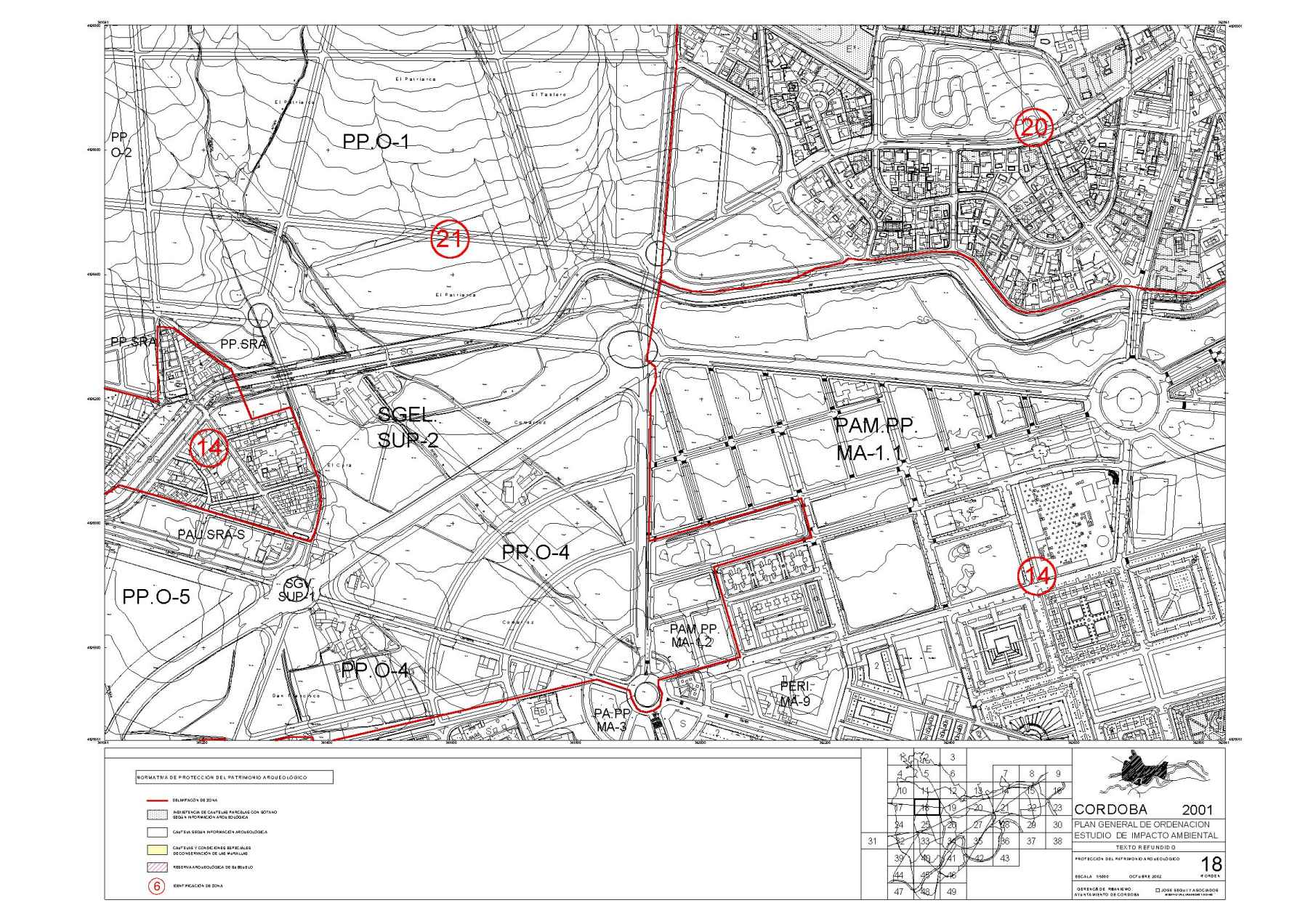
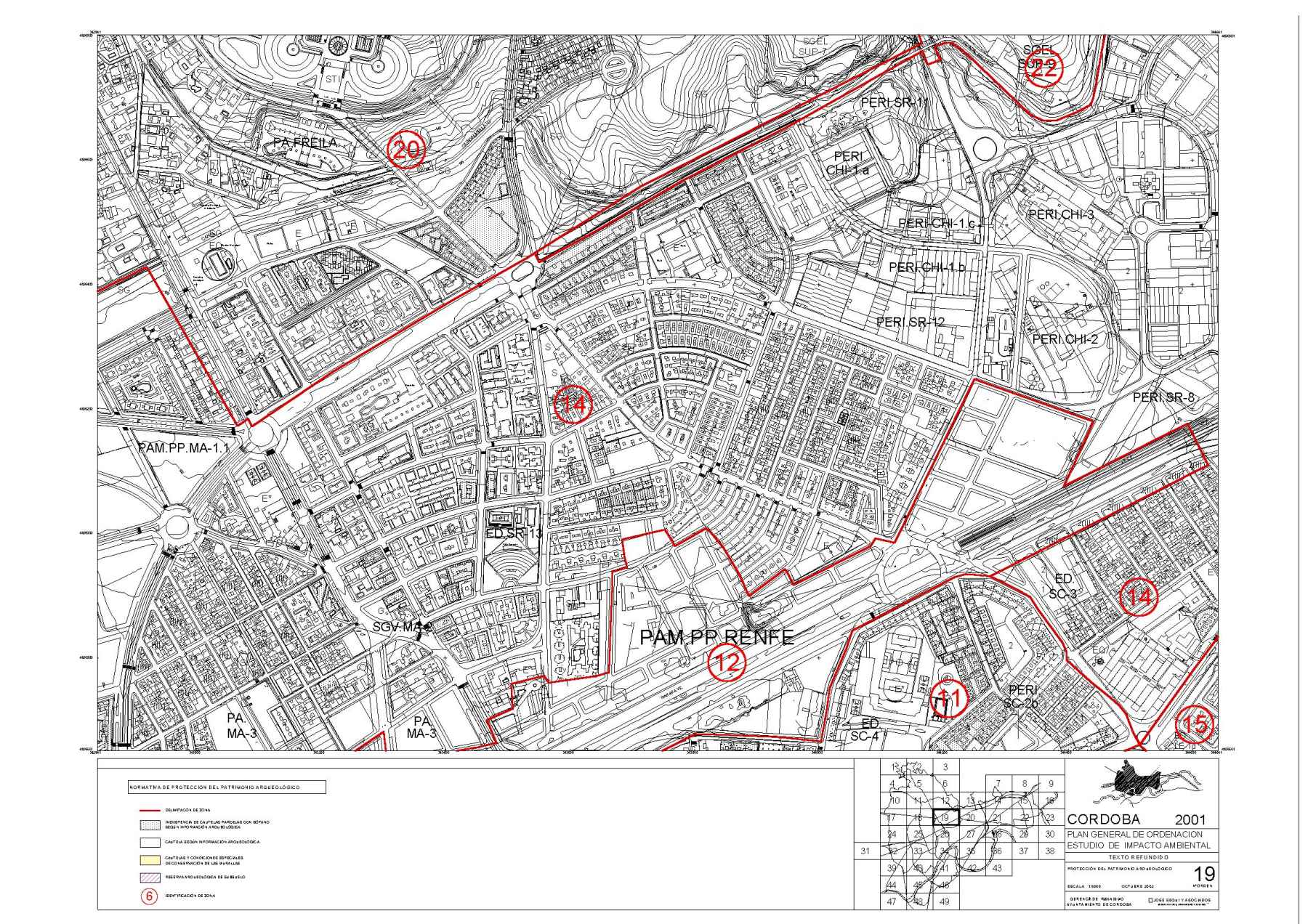
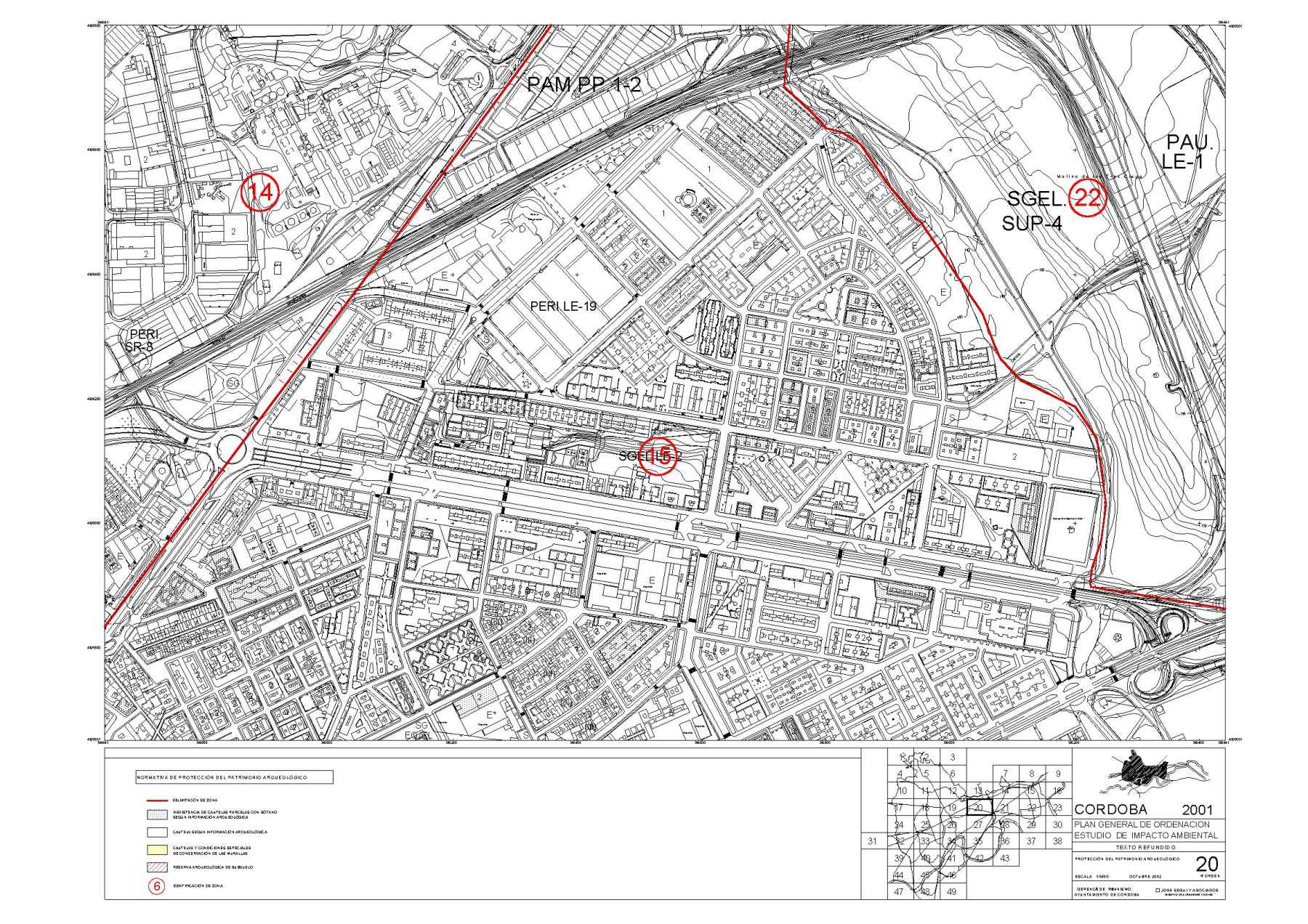
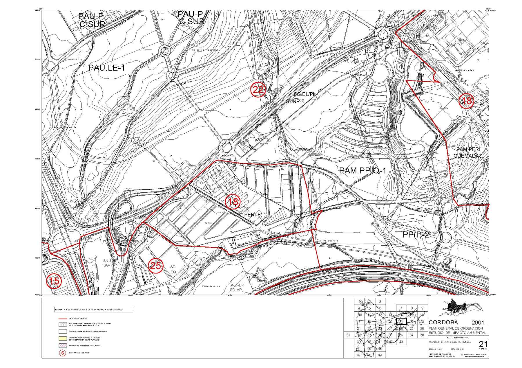
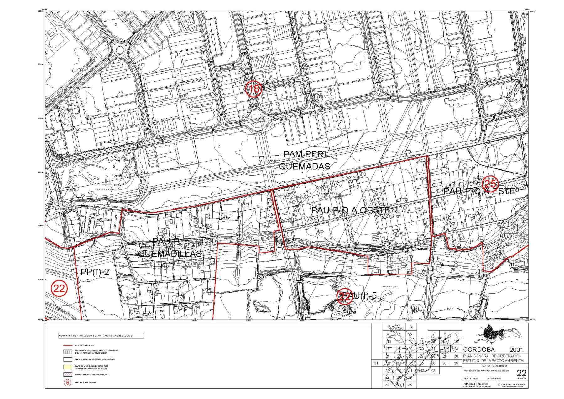
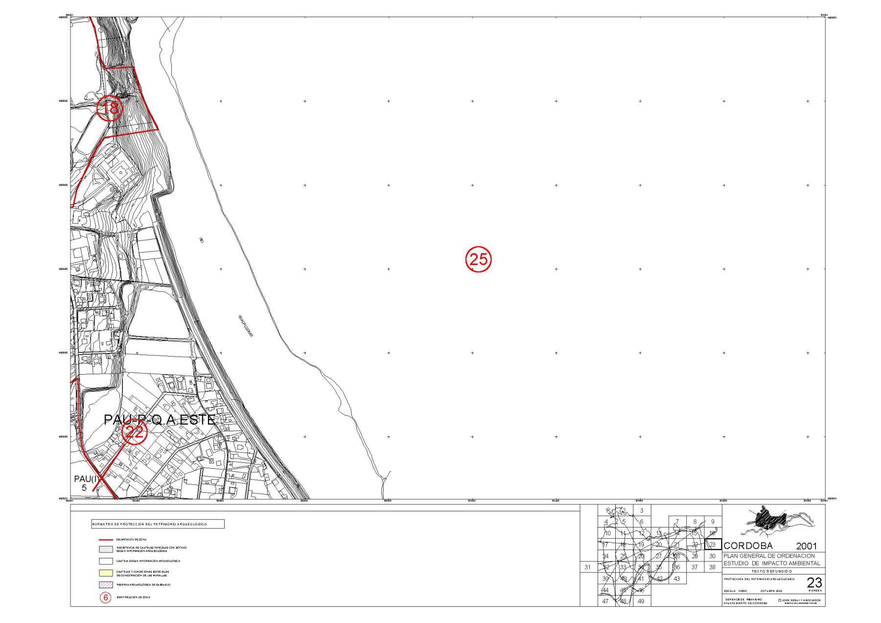
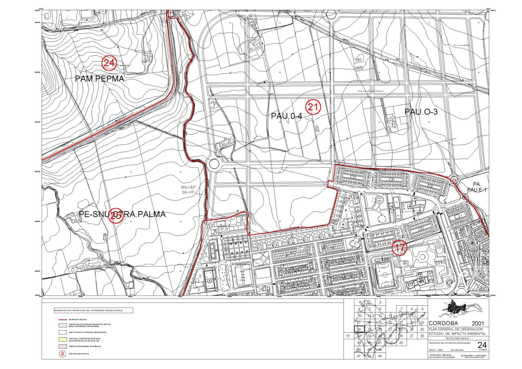
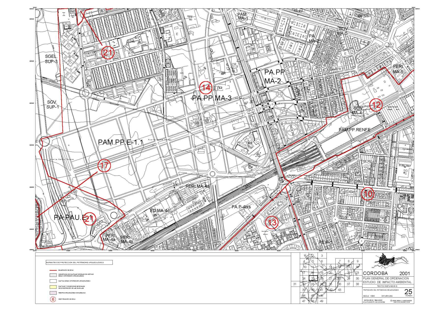
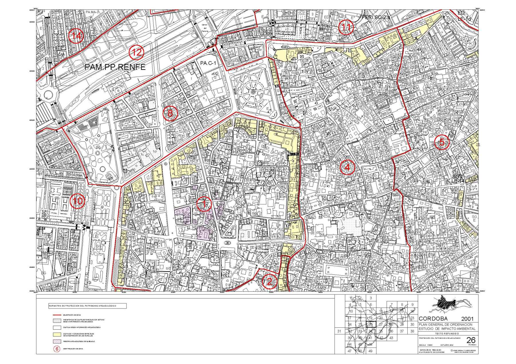
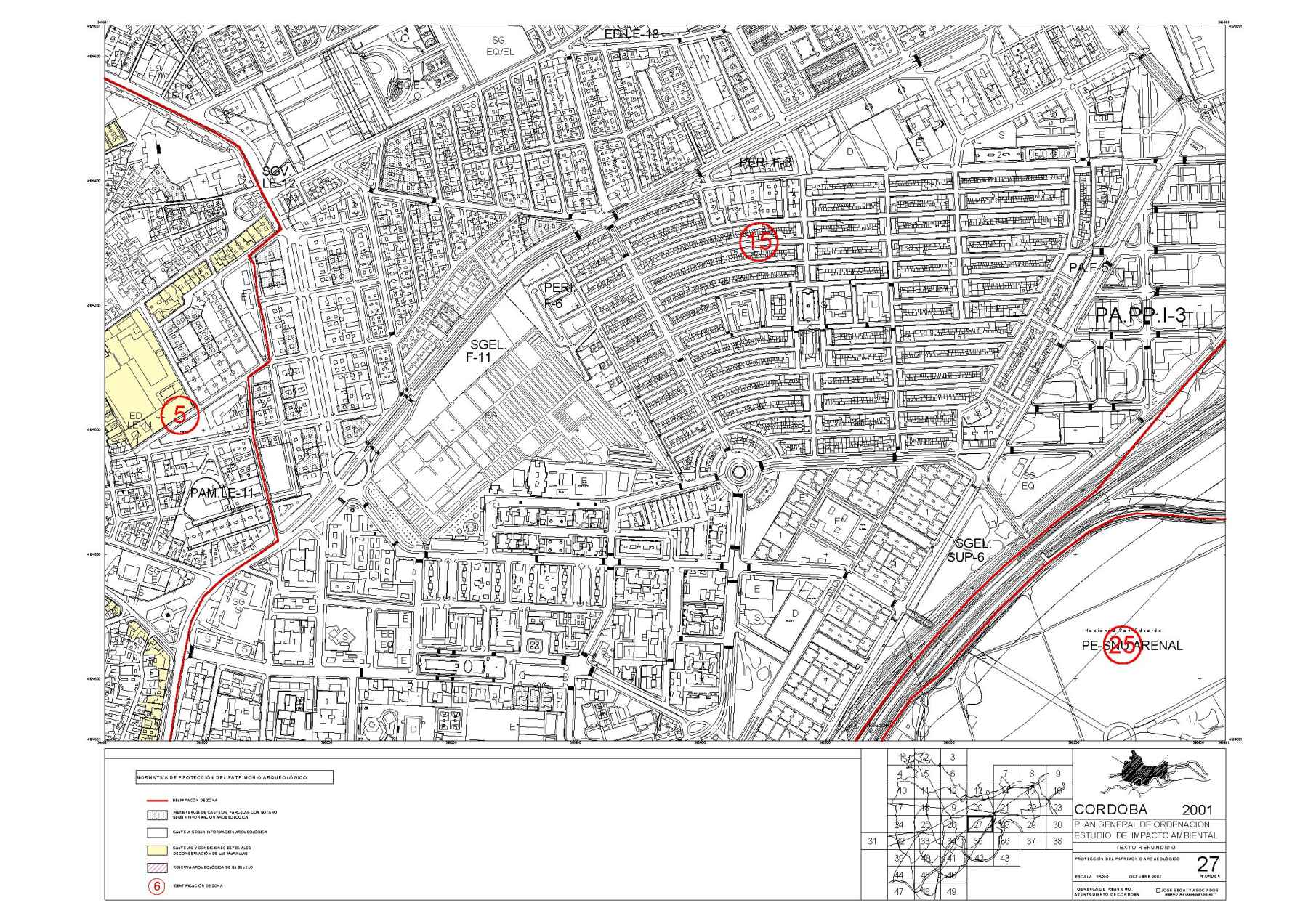
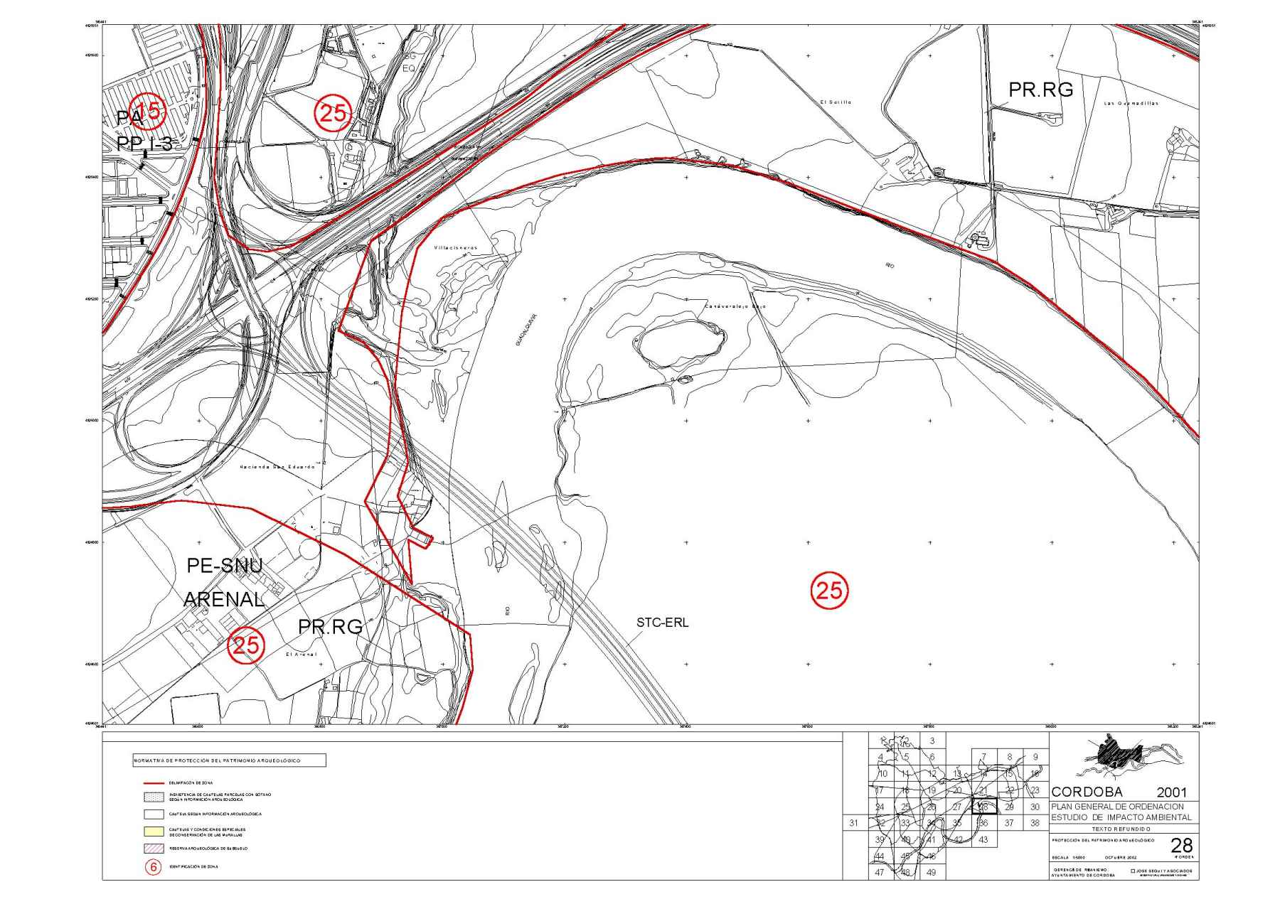
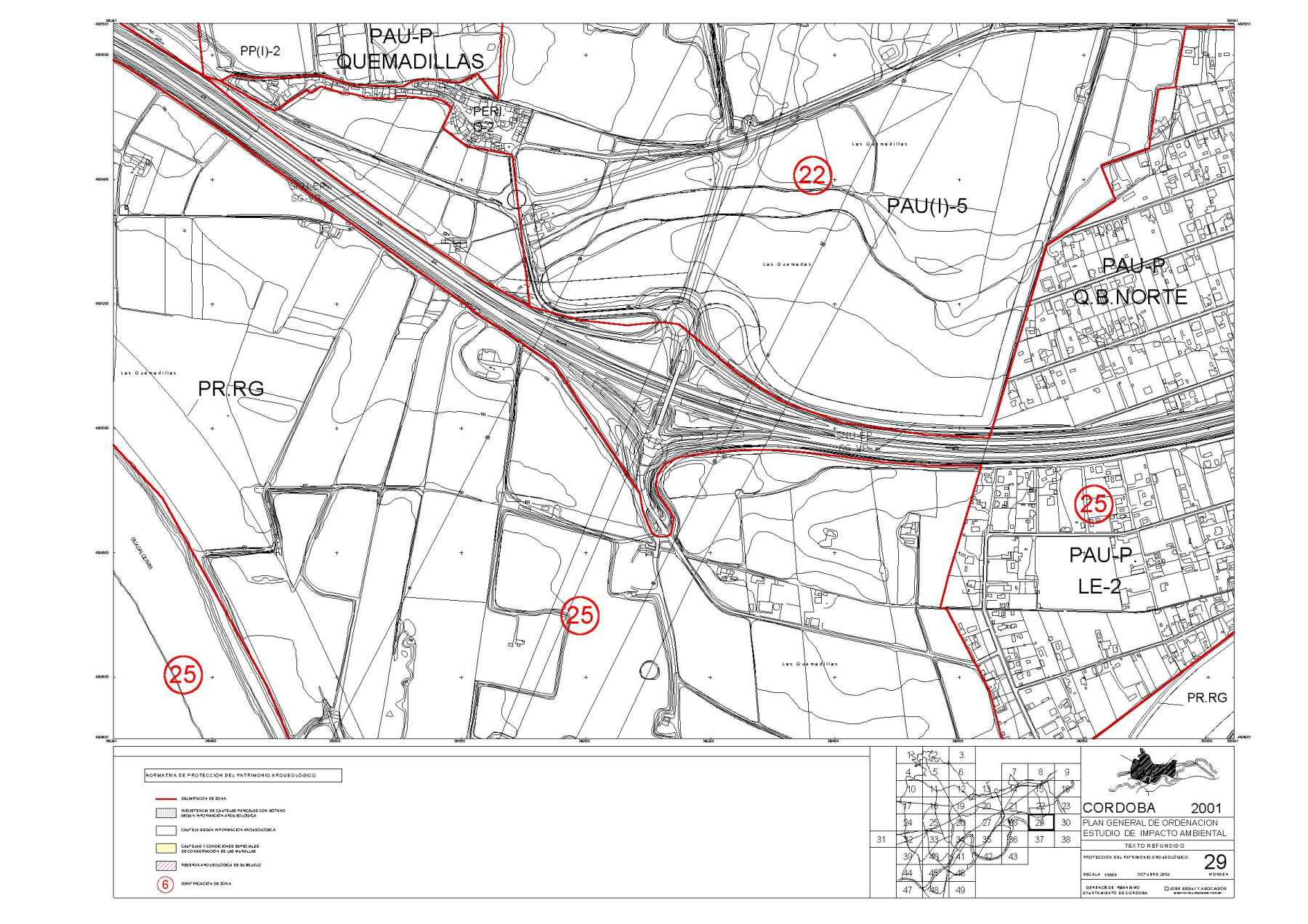
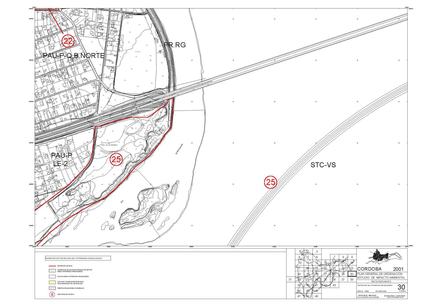
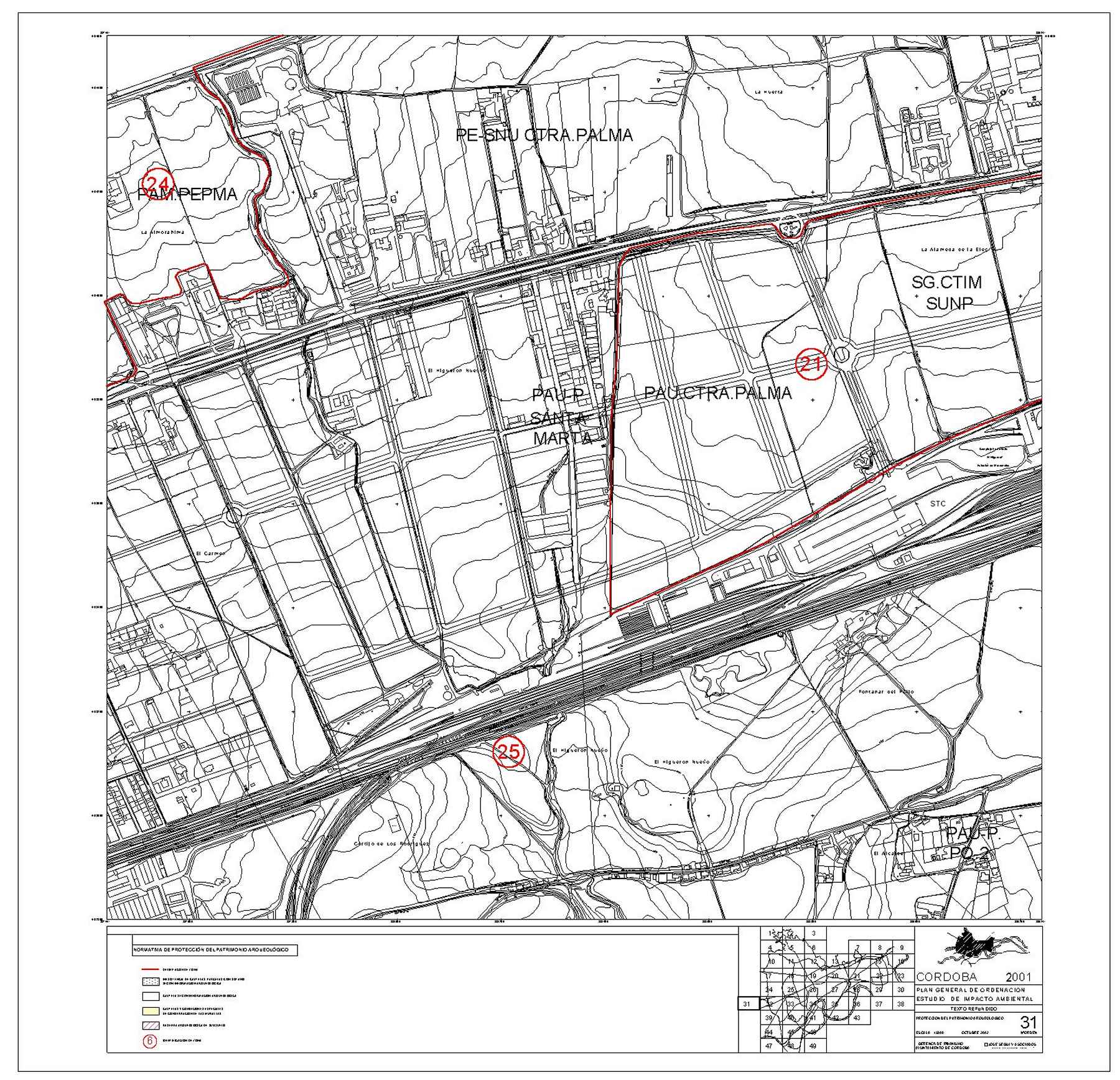
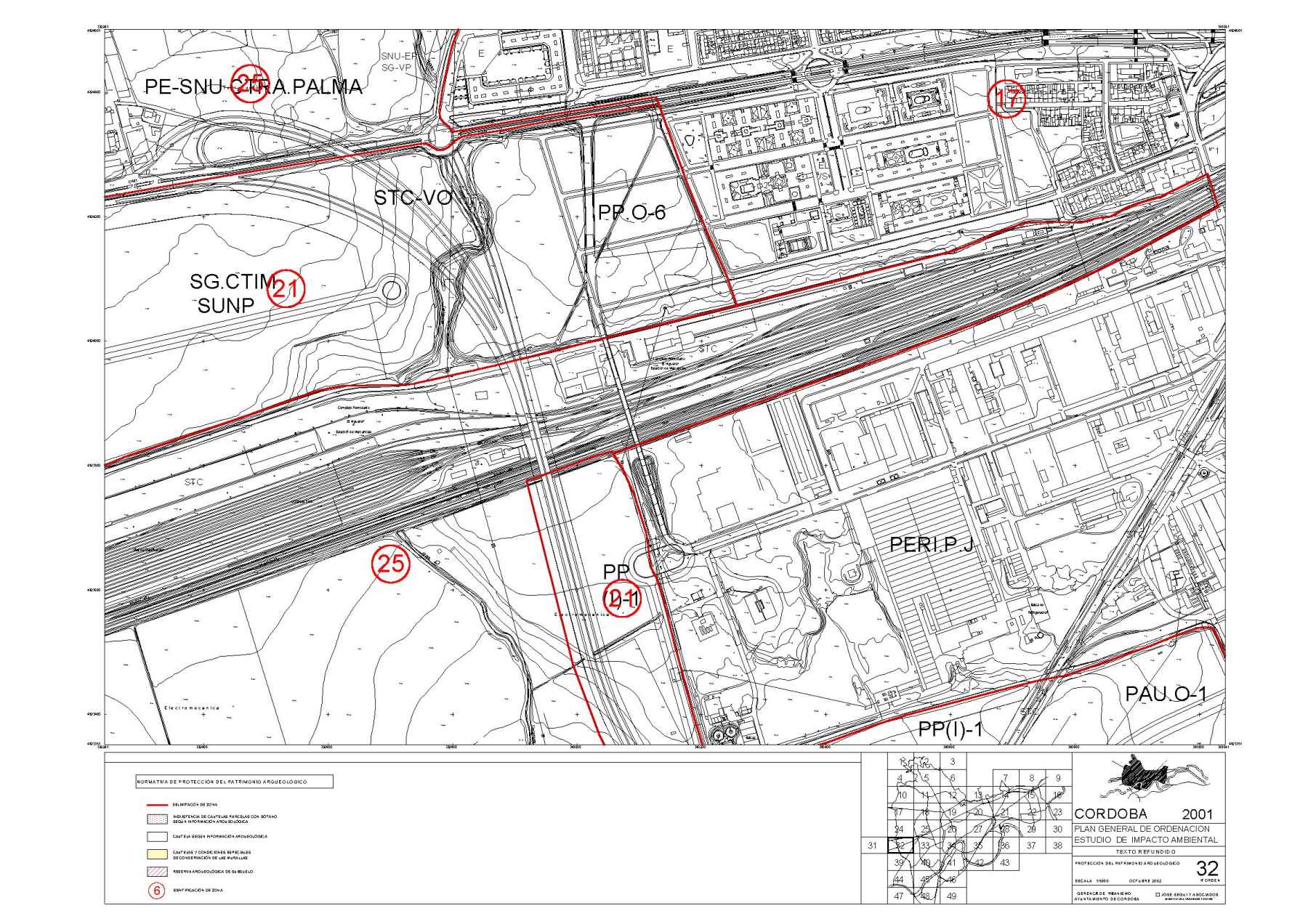
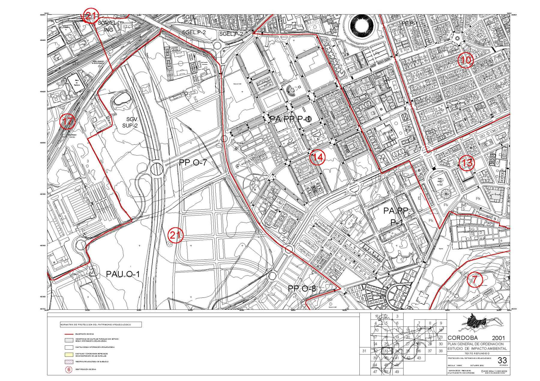
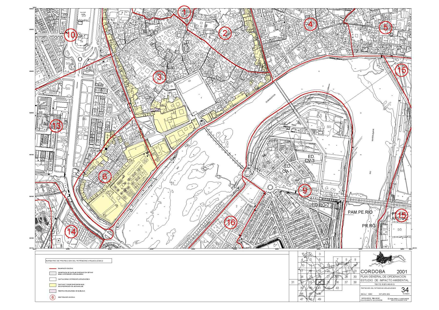
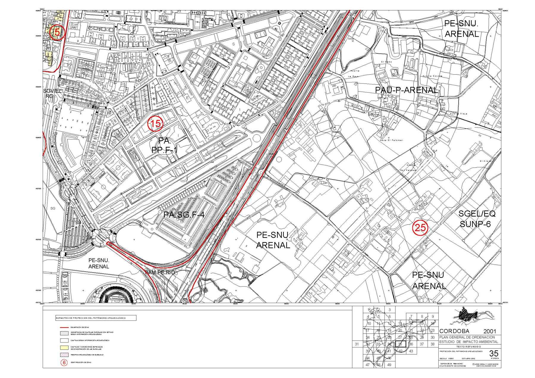
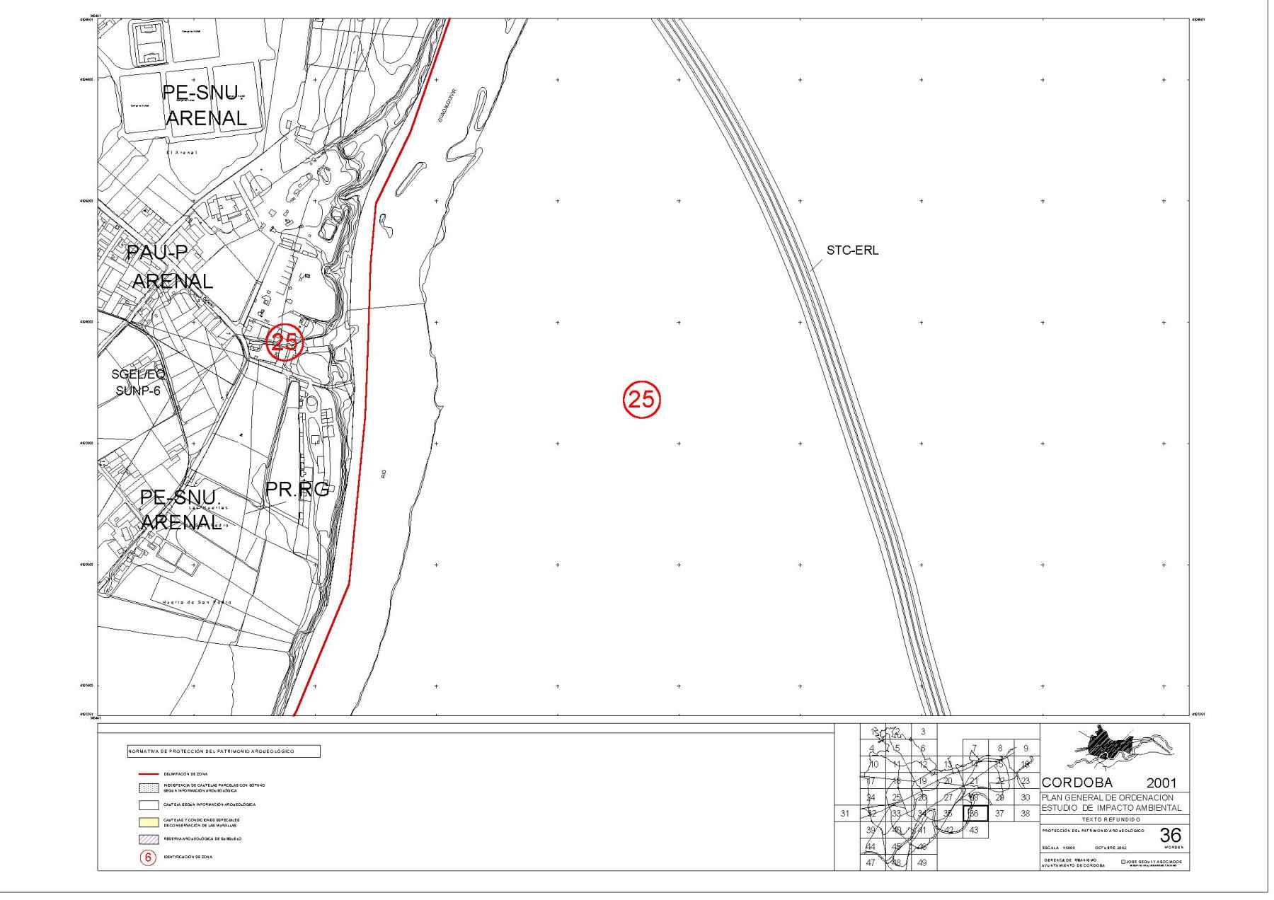
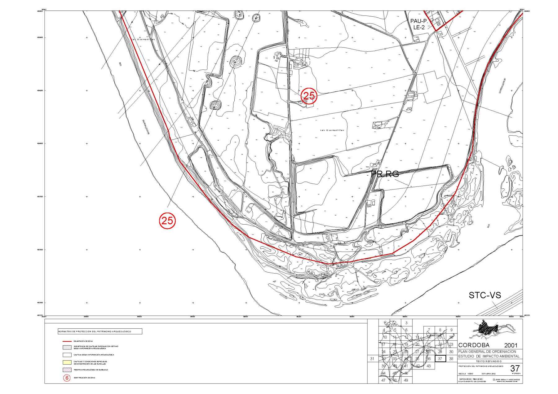
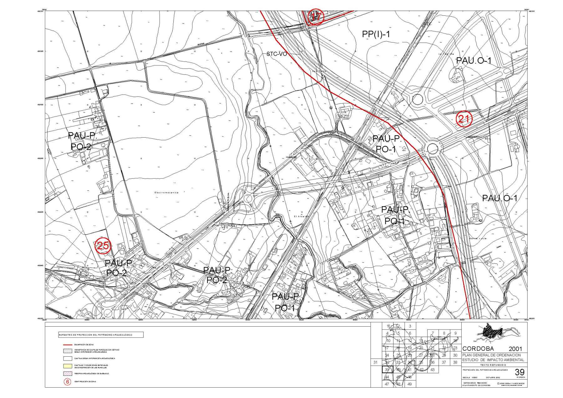
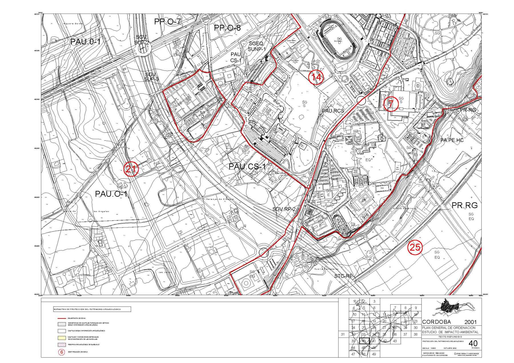
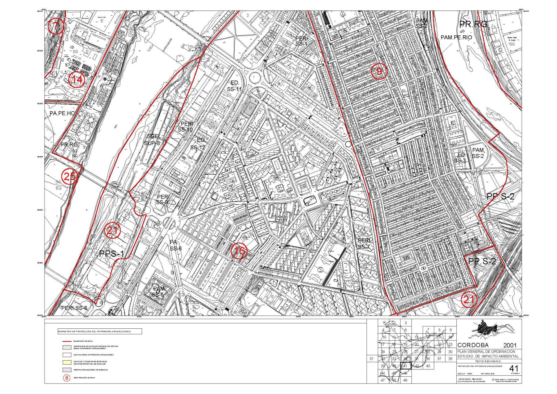
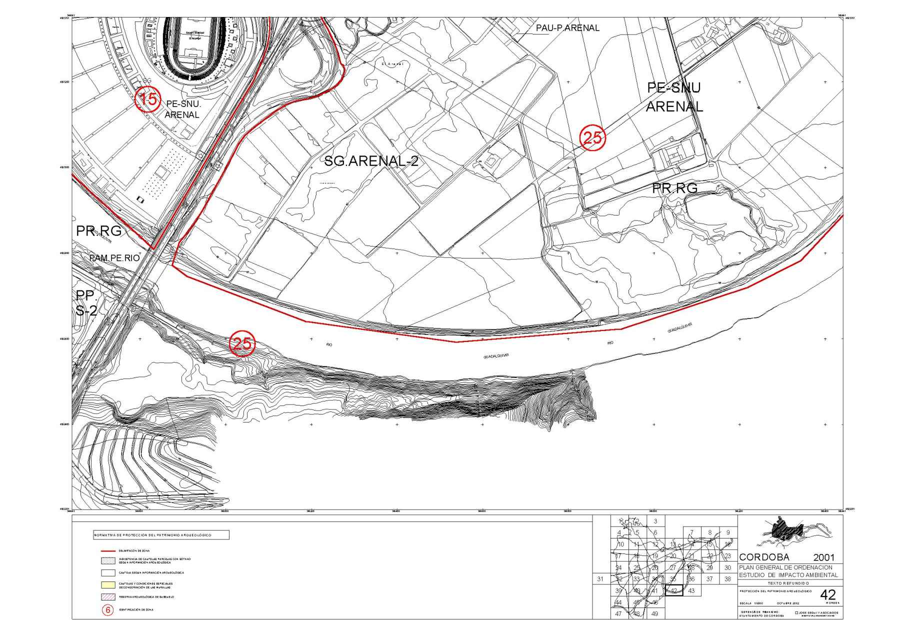
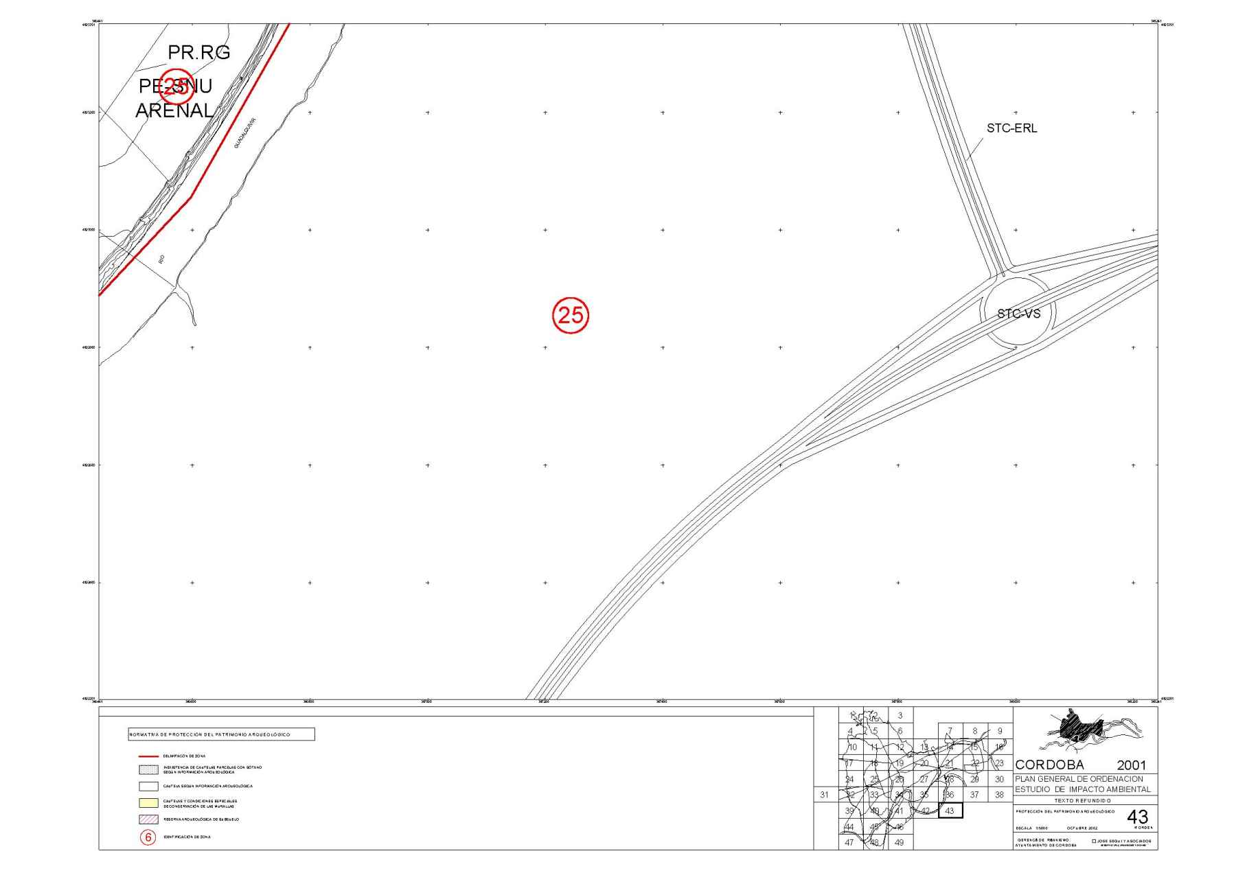
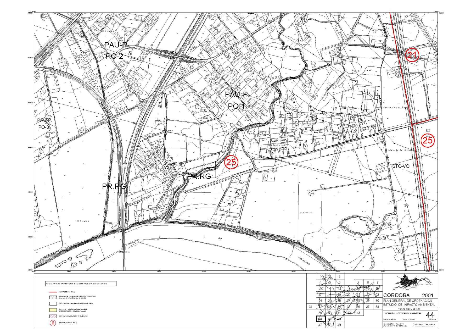
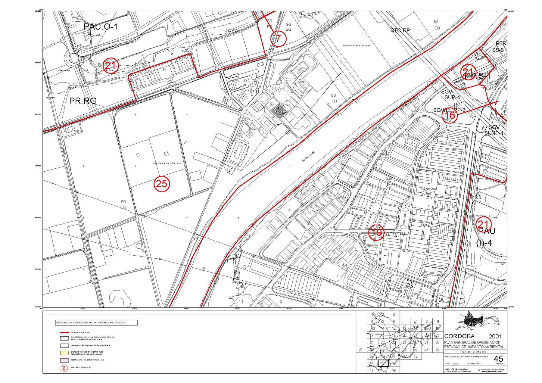
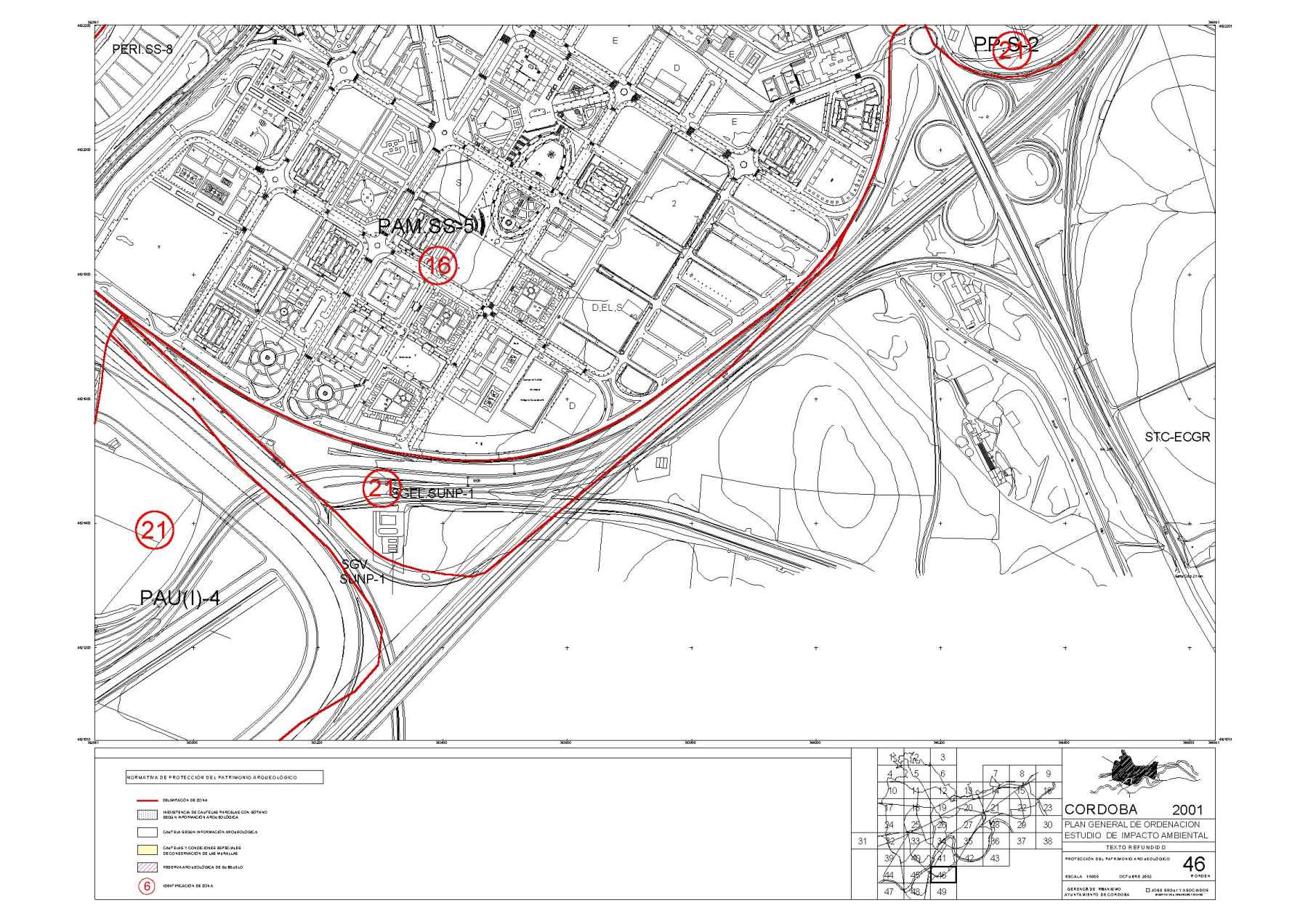
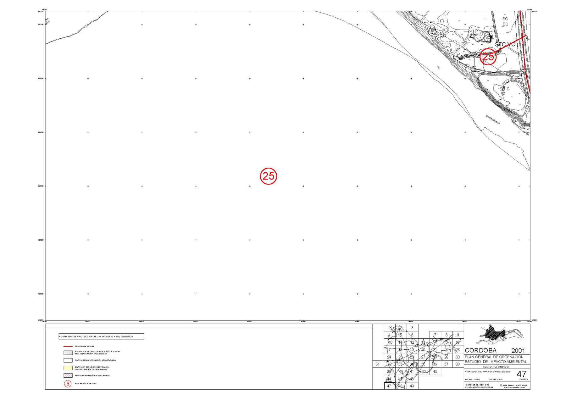
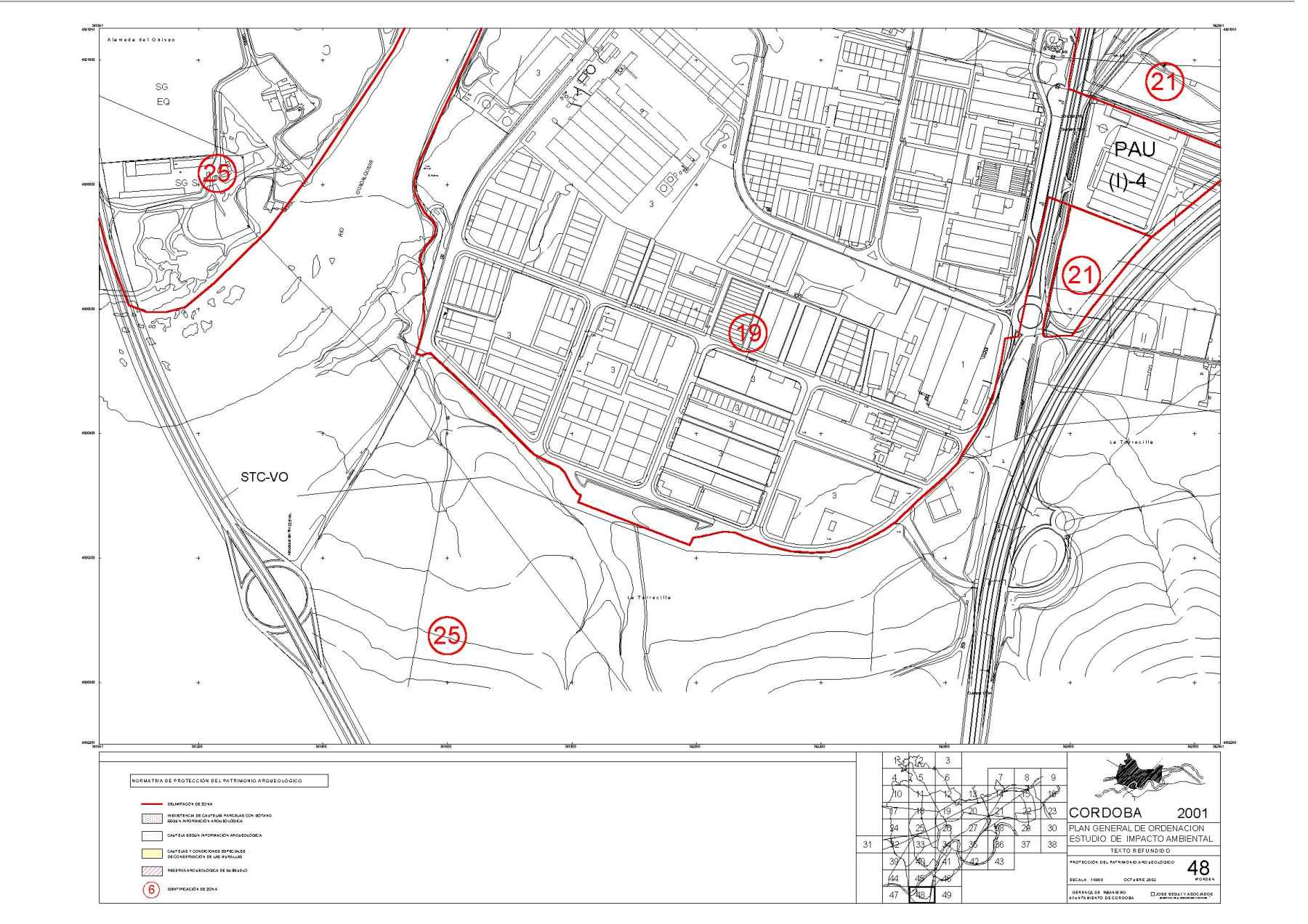
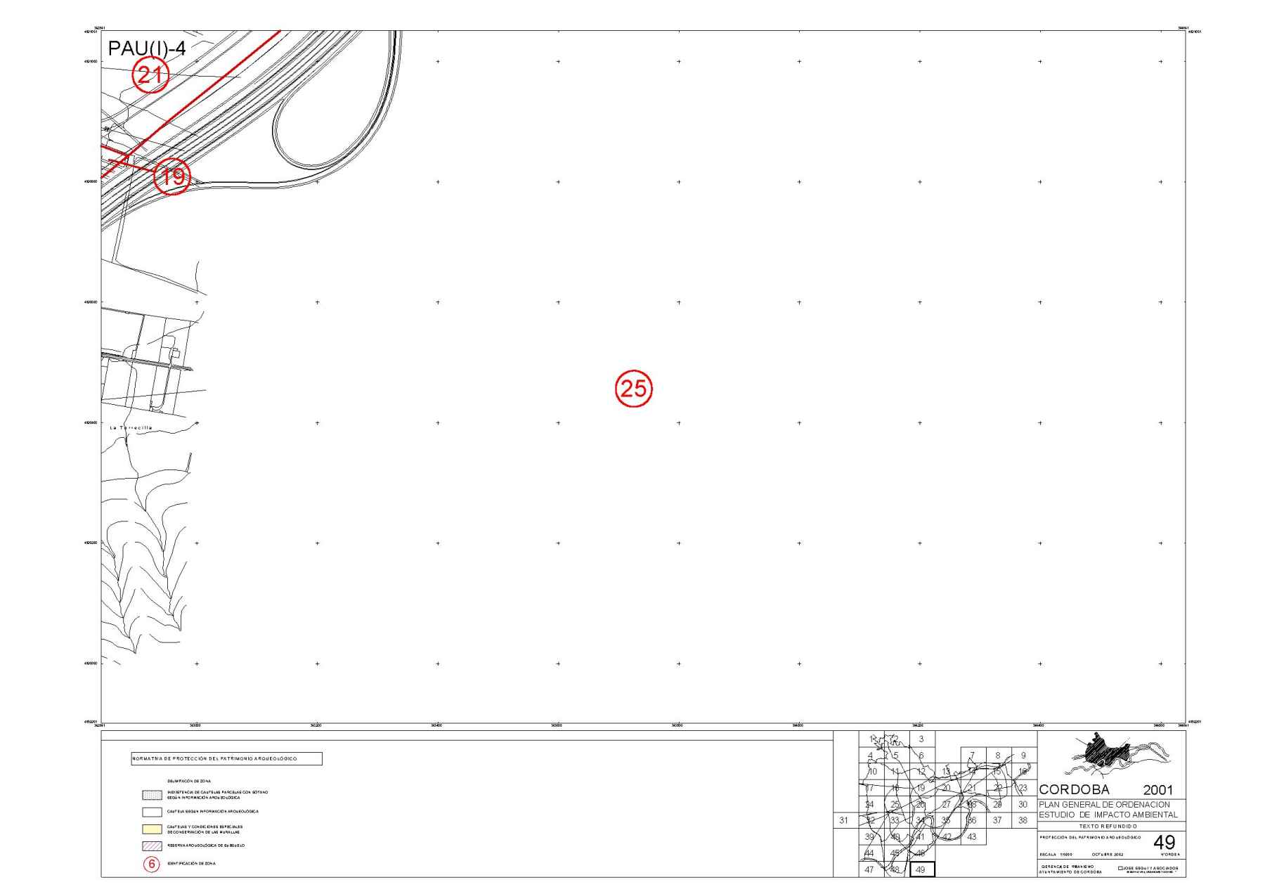
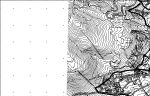
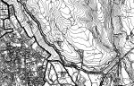
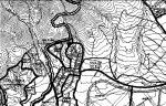
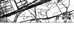
PLANOS DE PROTECCION DEL PATRIMONIO ARQUEOLOGICO
 |
 |
 |
|||||
 |
 |
 |
 |
 |
 |
||
 |
|
 |
 |
 |
 |
 |
 |
 |
|
 |
 |
 |
 |
 |
 |
 |
 |
 |
 |
 |
 |
 |
|
 |
 |
 |
 |
 |
 |
 |
 |
|
 |
 |
 |
 |
 |
||
 |
 |
 |
|||||
 |
 |
 |
Última actualización 13/11/2002
Publicado en
01.- PGOU
Etiquetado como
Martes, 21 Abril 2009 12:30
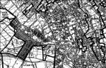
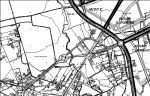
PLANOS DE GESTION


Publicado en
01.- PGOU
Etiquetado como
Martes, 21 Abril 2009 12:30
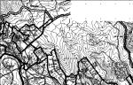
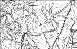
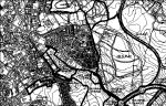
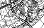
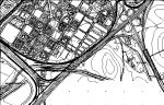
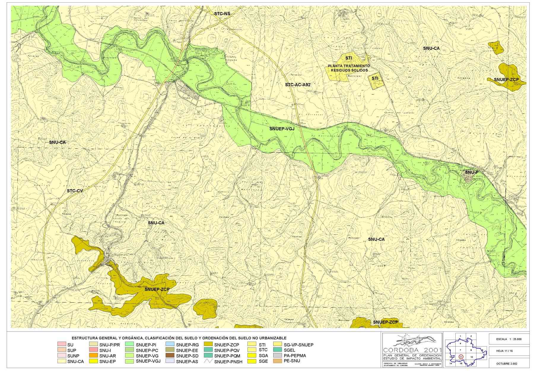
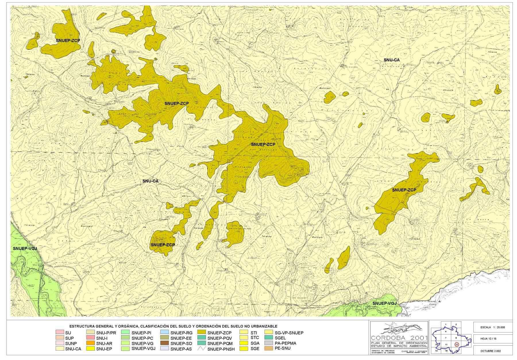
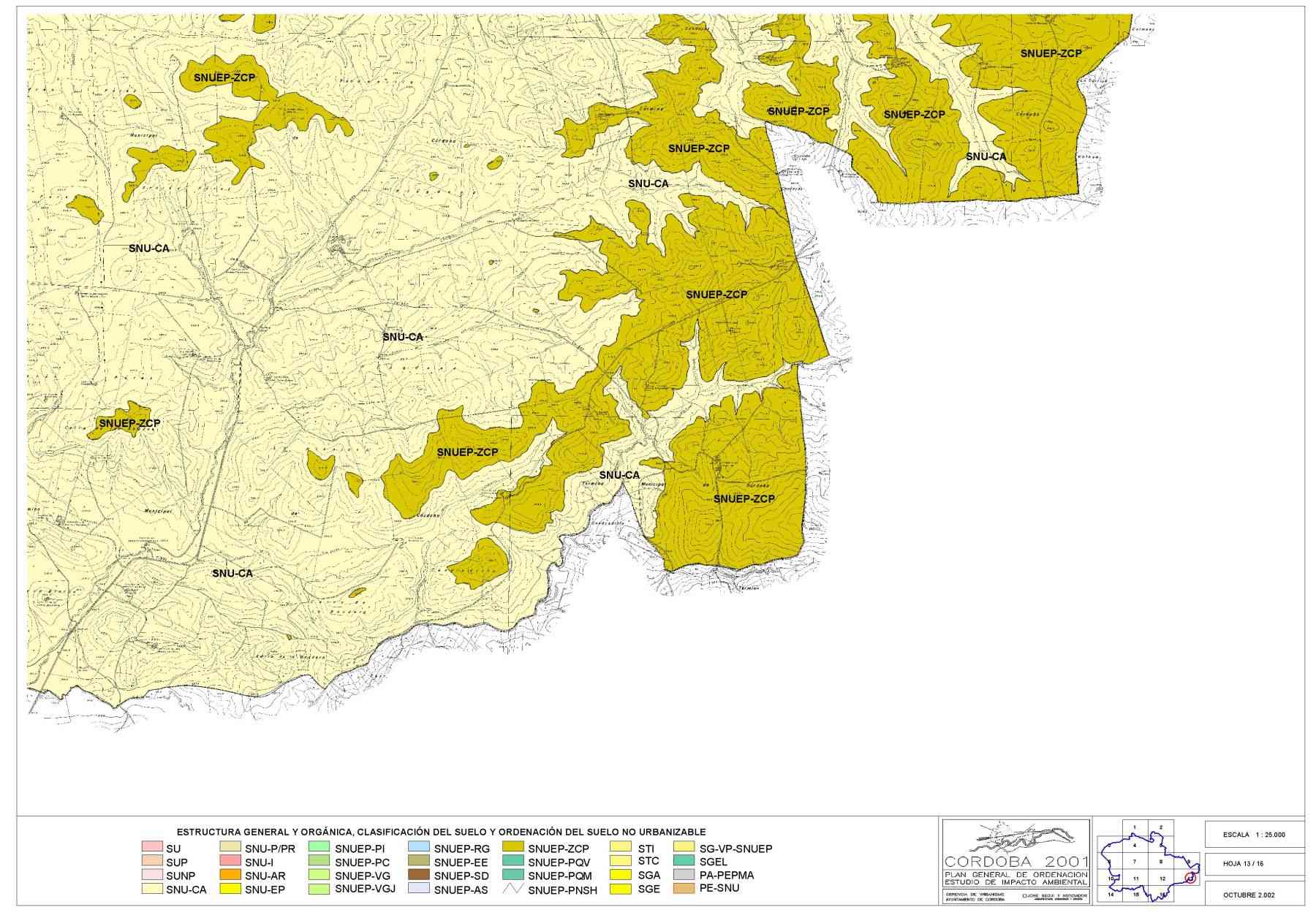
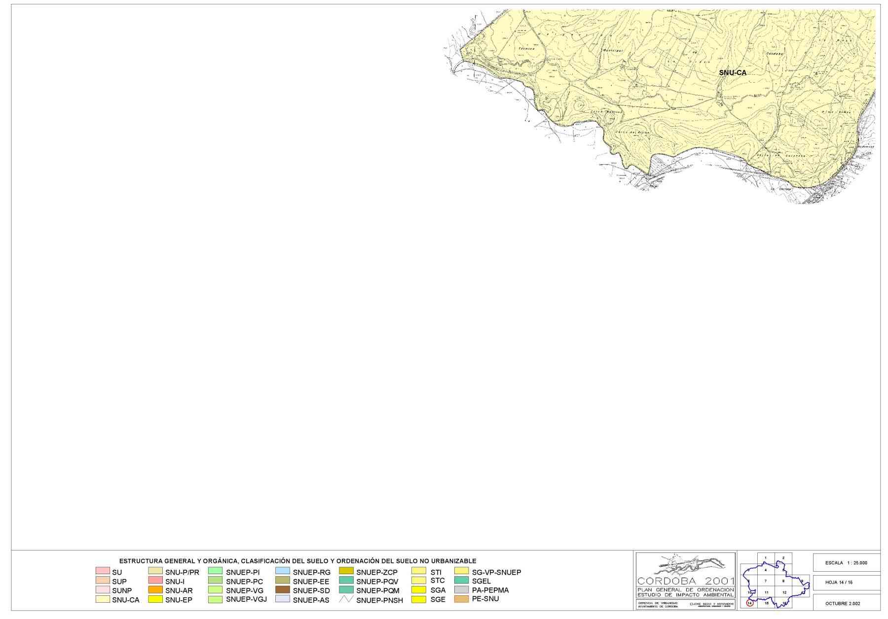
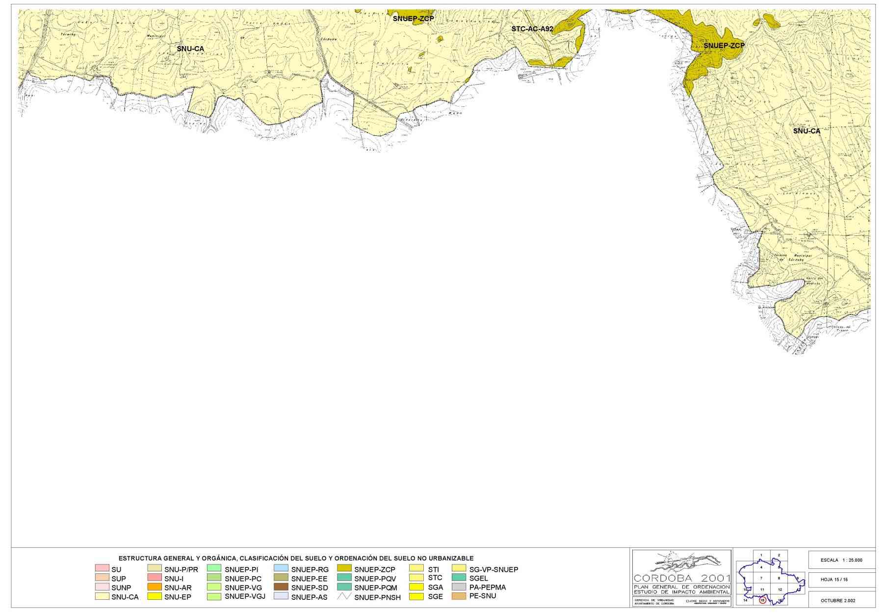
PLANOS DE ESTRUCTURA GENERAL Y ORGANICA DEL TERRITORIO
") |
") |
||
") |
") |
") |
|
") |
") |
") |
") |
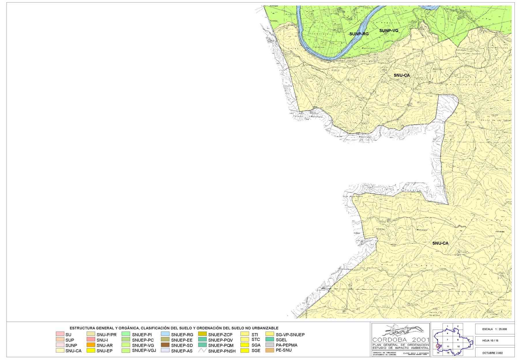 |
 |
 |
 |
 |
 |
 |
Última actualización 13/11/2002
Publicado en
01.- PGOU
Etiquetado como
Martes, 21 Abril 2009 12:30
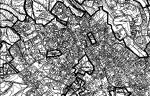
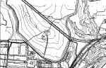
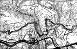
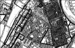
PLANOS DE CALIFICACION USOS Y SISTEMAS
")
")
")
")
")
")
")
")
")
")
")
")
")
")
")
")
")
")
")
")
")
")
")
")
")
")
")
")
")
")
")
")
")
")
")
")
")
")
")
")
")
")
")
")
")
")
")
")
")
Publicado en
01.- PGOU
Etiquetado como
Martes, 21 Abril 2009 12:30
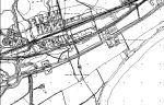
PLANOS DE ALINEACIONES Y RASANTES
") |
") |
") |
|||||
") |
") |
") |
") |
") |
") |
||
") |
") |
") |
") |
") |
") |
") |
") |
") |
") |
") |
") |
") |
") |
") |
") |
") |
") |
") |
") |
") |
") |
") |
|
") |
") |
 |
 |
") |
 |
") |
") |
") |
") |
") |
") |
") |
") |
||
") |
") |
") |
|||||
") |
 |
") |
Última actualización 13/11/2002
Publicado en
01.- PGOU
Etiquetado como
Martes, 21 Abril 2009 12:30
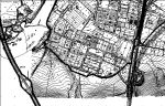
PERI VA-2
| PLAN GENERAL DE ORDENACION CORDOBA / TEXTO REFUNDIDO OCT 2002 | 2.2.3.- FICHAS DE PLANEAMIENTO PLANES ESPECIALES NUCLEOS PERIFERICOS | |
| ACTUACION URBANISTICA: | PERI VA-2 | |
| DATOS GENERALES: | ||
| ámbito / tipo de suelo: | PERI / Suelo Urbano No Consolidado por la urbanización | |
| denominación: | VALENZONEJA-2 | |
| hoja/s nº orden: | 63 | |
| DATOS DE PLANEAMIENTO: | ||
| instrumento de ordenación: | PLAN ESPECIAL DE REFORMA INTERIOR | |
| superficie (m2 suelo): | 81.400 | |
| techo máximo edificable (m2 techo): | 16.280 | |
| usos globales: | RESIDENCIALES | |
| ordenanza/s de aplicación: | UAS | |
| DATOS DE GESTION: | ||
| área de reparto: | AR.PERI.VA-2 | |
| aprovechamiento tipo (AT): | 0,200 | m2t/m2s uso y tipología UAS |
| sistema de actuación: | COMPENSACION | |
| iniciativa: | PRIVADA | |
| programa de actuación: | 1º CUATRIENIO | |
| CESIONES DE SUELO: | ||
| Según Plan General y PERI. | ||
| OBJETIVOS (A) Y CONDICIONES (B): | ||
| A.- Objetivos: Los propios del Planeamiento Especial de Reforma Interior (Ordenación de terrenos mediante aperturas de viario, dotación de servicios e infraestructuras a la zona, etc.) y cesión de Sistema de espacios libres. | ||
| B.- Condiciones de Ordenación según PERI. | ||
| B.2.- El mantenimiento y conservación futura de los servicios urbanísticos (viario, saneamiento, abastecimiento, energía eléctrica, etc.) se realizará por parte de los propietarios, para lo cual constituirán una Entidad Urbanística de Conservación. | ||
| GERENCIA DE URBANISMO. AYUNTAMIENTO DE CORDOBA | ||
Última actualización 31/10/2002
Publicado en
01.- PGOU
Etiquetado como